Loading...
Loading map...1951 Map of Fairfax
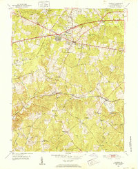
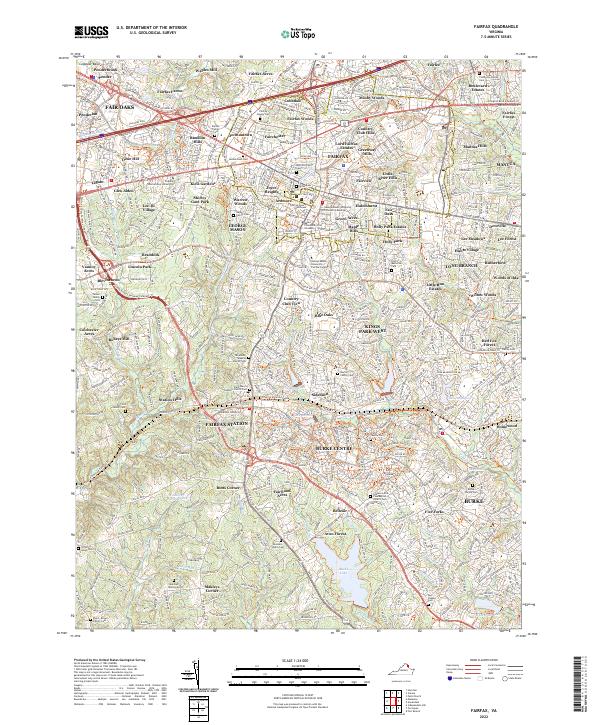
USGS Topo · Published 1952About this map
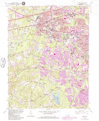
Fairfax sits at the center of this early 1950s survey, a period when the landscape still maintained a balance between historic crossroads and emerging suburban pockets like Maple Terrace and Fairfax Heights. The Southern railroad corridor remains a primary geographic anchor, supporting older hubs such as Fairfax Station and Burke while passing through a countryside dotted with family-named landmarks like Elgin Corner and Makleys Store.
Find a feature on this map
64 named features on this map. Tap any name to fly to it.
Don’t see what you’re looking for? This feature index may not catch every label — zoom into the map to look around manually.
Map Details
Date Portrayed1951
Date Published1952
PublisherU.S. Geological Survey
Map TypeTopographic
Scale1:24,000
Physical Dimensions22 x 27 inches
Editions of this 1951 Fairfax Map
This is the sole edition of this map. No revisions or reprints were ever made.
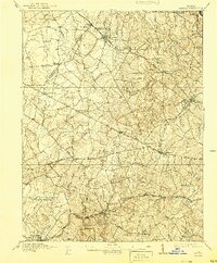
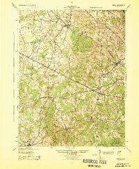
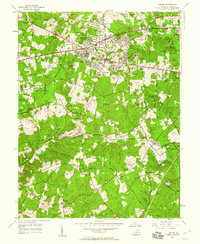
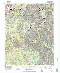
Historical Maps of Burke Through Time
7 maps found
Featured Locations
Source Details
SourceU.S. Geological Survey
CopyrightPublic Domain