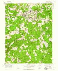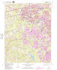
1994 Map of Fairfax
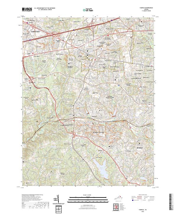
USGS Topo · Published 1998About this map
The Fairfax Co Court House and Fairfax City Hall anchor the civic heart of this Northern Virginia landscape as it transitioned into a dense suburban hub in the mid-1990s. The map illustrates the intense development surrounding Fairfax City, where historic sites like the Vannoy Cem and The Chapel Cem are preserved among expanding residential enclaves like Lord Fairfax Estates and Mosby Woods. The southern portion of the sheet reveals a shift toward managed recreational and environmental spaces, dominated by the expansive Burke Lake and its surrounding Burke Lake County Park.
Find a feature on this map
131 named features on this map. Tap any name to fly to it.
Don’t see what you’re looking for? This feature index may not catch every label — zoom into the map to look around manually.
Map Details
Editions of this 1994 Fairfax Map
This is the sole edition of this map. No revisions or reprints were ever made.
Historical Maps of Burke Through Time
7 maps found