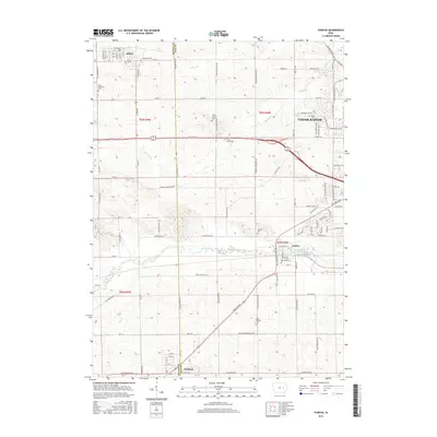
2015 Map of Fairfax
USGS Topo · Published 2015About this map
Fairfax and its surrounding townships in Linn and Benton counties are documented here in a period of modern expansion west of Cedar Rapids. The landscape is defined by the alluvial flats of Prairie Creek, which flows eastward through the heart of the area, and the smaller tributaries of Silver Creek and Morgan Creek to the north. These waterways historically dictated the placement of early settlements and road networks that remain visible in the grid of county routes and municipal streets.
Find a feature on this map
66 named features on this map. Tap any name to fly to it.
Don’t see what you’re looking for? This feature index may not catch every label — zoom into the map to look around manually.
Map Details
Editions of this 2015 Fairfax Map
This is the sole edition of this map. No revisions or reprints were ever made.
Other maps of this area

1887 · Cedar Rapids
USGS Topo · 1:62,500

1888 · Shellsburg
USGS Topo · 1:62,500

1888 · Marion
USGS Topo · 1:62,500

1888 · Amana
USGS Topo · 1:62,500

1889 · Marion
USGS Topo · 1:62,500

1889 · Amana
USGS Topo · 1:62,500

1889 · Shellsburg
USGS Topo · 1:62,500

1891 · Cedar Rapids
USGS Topo · 1:62,500

1899 · Amana
USGS Topo · 1:62,500

1899 · Shellsburg
USGS Topo · 1:62,500