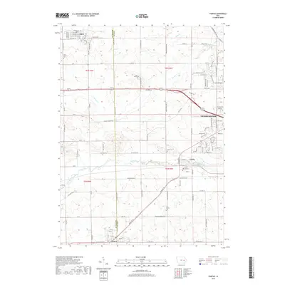
2018 Map of Fairfax
USGS Topo · Published 2018About this map
Prairie Creek meanders through this portion of eastern Iowa, defining the drainage patterns for the surrounding agricultural and residential landscape between Atkins and Fairfax. The terrain is marked by several tributaries, including Morgan Creek and Silver Creek, which cut through the rolling topography of the Benton and Linn county line. The settlement pattern here reflects the steady westward expansion of Cedar Rapids, with newer subdivisions and rural residential pockets appearing alongside established family farms.
Find a feature on this map
113 named features on this map. Tap any name to fly to it.
Don’t see what you’re looking for? This feature index may not catch every label — zoom into the map to look around manually.
Map Details
Editions of this 2018 Fairfax Map
This is the sole edition of this map. No revisions or reprints were ever made.
Other maps of this area

1887 · Cedar Rapids
USGS Topo · 1:62,500

1888 · Shellsburg
USGS Topo · 1:62,500

1888 · Marion
USGS Topo · 1:62,500

1888 · Amana
USGS Topo · 1:62,500

1889 · Marion
USGS Topo · 1:62,500

1889 · Amana
USGS Topo · 1:62,500

1889 · Shellsburg
USGS Topo · 1:62,500

1891 · Cedar Rapids
USGS Topo · 1:62,500

1899 · Amana
USGS Topo · 1:62,500

1899 · Shellsburg
USGS Topo · 1:62,500