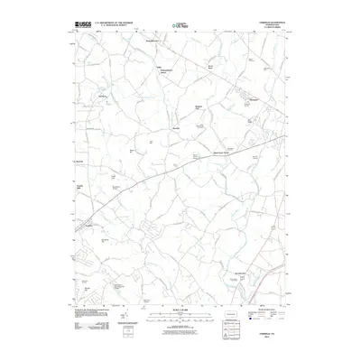
2010 Map of Fairfield
USGS Topo · Published 2010About this map
Fairfield and the rolling orchards of Adams County define this landscape at the eastern edge of South Mountain. The area is characterized by a dense network of country roads connecting established hamlets like McKnightstown, Orrtanna, and Seven Stars. Historical genealogy and local history are anchored by several notable burial grounds, including Blacks Cemetery, Lower Marsh Creek Cemetery, and McClelland Cemetery.
Find a feature on this map
100 named features on this map. Tap any name to fly to it.
Don’t see what you’re looking for? This feature index may not catch every label — zoom into the map to look around manually.
Map Details
Editions of this 2010 Fairfield Map
This is the sole edition of this map. No revisions or reprints were ever made.
Other maps of this area

1908 · Gettysburg
USGS Topo · 1:62,500

1909 · Fairfield
USGS Topo · 1:62,500

1911 · Taneytown
USGS Topo · 1:62,500

1911 · Emmitsburg
USGS Topo · 1:62,500

1942 · Gettysburg
USGS Topo · 1:125,000

1943 · Emmitsburg
USGS Topo · 1:62,500

1944 · Gettysburg
USGS Topo · 1:31,680

1944 · Flat Ridge
USGS Topo · 1:31,680
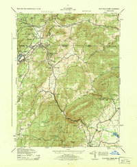
1944 · Blue Ridge Summit
USGS Topo · 1:31,680

1944 · Arendtsville
USGS Topo · 1:31,680