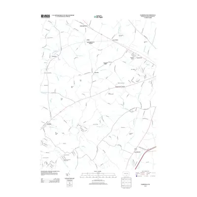
2013 Map of Fairfield
USGS Topo · Published 2013About this map
Fairfield anchors the southwestern corner of this Adams County landscape, where the foothills of South Mountain meet the agricultural valleys of central Pennsylvania. The geography is defined by a series of parallel creeks and runs, including Middle Cr, Marsh Cr, and Willoughby Run, which flow through a network of small crossroad settlements and historic waypoints. Notable locales such as Black Horse Tavern and Seven Stars mark the transit corridors, while the presence of Gettysburg Park on the eastern edge and Ski Liberty Ski Area to the south illustrates the area's modern role in both heritage preservation and recreation.
Find a feature on this map
161 named features on this map. Tap any name to fly to it.
Don’t see what you’re looking for? This feature index may not catch every label — zoom into the map to look around manually.
Map Details
Editions of this 2013 Fairfield Map
This is the sole edition of this map. No revisions or reprints were ever made.
Other maps of this area

1908 · Gettysburg
USGS Topo · 1:62,500

1909 · Fairfield
USGS Topo · 1:62,500

1911 · Taneytown
USGS Topo · 1:62,500

1911 · Emmitsburg
USGS Topo · 1:62,500

1942 · Gettysburg
USGS Topo · 1:125,000

1943 · Emmitsburg
USGS Topo · 1:62,500

1944 · Gettysburg
USGS Topo · 1:31,680

1944 · Flat Ridge
USGS Topo · 1:31,680
1944 · Blue Ridge Summit
USGS Topo · 1:31,680

1944 · Arendtsville
USGS Topo · 1:31,680