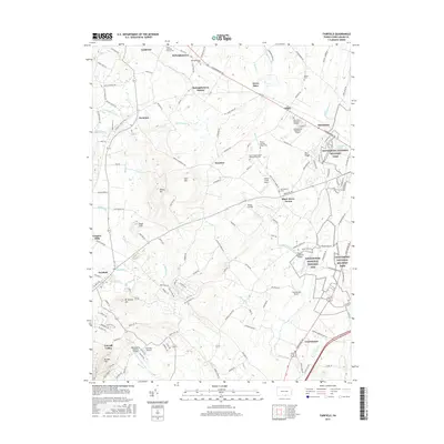
2016 Map of Fairfield
USGS Topo · Published 2016About this map
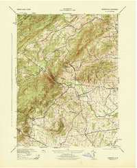
Gettysburg National Military Park and the Eisenhower National Historic Site anchor the eastern boundary of this map, representing a significant corridor of American history in Adams County. The landscape is defined by the headwaters of the Middle Creek and Marsh Creek systems, which flow through a region of scattered hamlets including Cashtown, McKnightstown, and Orrtanna. This survey reveals a dense network of historical preservation and early infrastructure, including Sauck's Covered Bridge and several old religious landmarks such as Pfoutz Meeting House Cem and Lower Marsh Creek Presbyterian Cem.
Find a feature on this map
150 named features on this map. Tap any name to fly to it.
Don’t see what you’re looking for? This feature index may not catch every label — zoom into the map to look around manually.
Map Details
Editions of this 2016 Fairfield Map
This is the sole edition of this map. No revisions or reprints were ever made.
Other maps of this area
1908 · Gettysburg
USGS Topo · 1:62,500
1909 · Fairfield
USGS Topo · 1:62,500

1911 · Taneytown
USGS Topo · 1:62,500
1911 · Emmitsburg
USGS Topo · 1:62,500

1942 · Gettysburg
USGS Topo · 1:125,000
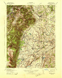
1943 · Emmitsburg
USGS Topo · 1:62,500
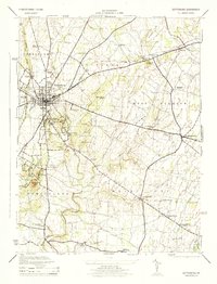
1944 · Gettysburg
USGS Topo · 1:31,680
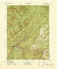
1944 · Flat Ridge
USGS Topo · 1:31,680
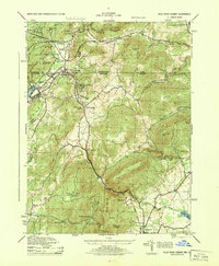
1944 · Blue Ridge Summit
USGS Topo · 1:31,680
1944 · Arendtsville
USGS Topo · 1:31,680