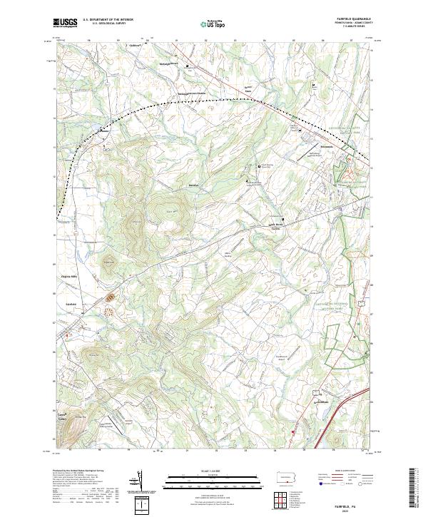
2023 Map of Fairfield
USGS Topo · Published 2023About this map
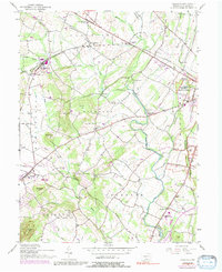
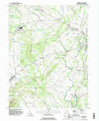
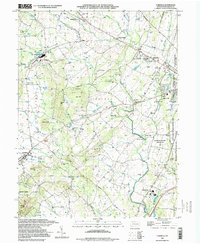
Gettysburg National Military Park dominates the eastern edge of this landscape, where the ridges and runs of Adams County tell a story of colonial settlement and Civil War history. This modern survey illustrates the enduring geography of the region, from the historic Black Horse Tavern to the rural centers of Fairfield and Cashtown. The terrain is defined by north-south elevations like Herr Ridge and Carr Hill, which channel waterways such as Marsh Creek and Willoughby Run.
Find a feature on this map
145 named features on this map. Tap any name to fly to it.
Don’t see what you’re looking for? This feature index may not catch every label — zoom into the map to look around manually.
Map Details
Editions of this 2023 Fairfield Map
This is the sole edition of this map. No revisions or reprints were ever made.
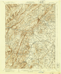
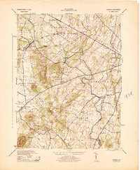
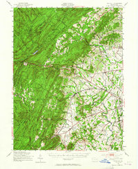
Historical Maps of McKnightstown Through Time
7 maps found
Featured Locations
- Highland Township, PA
- Fairfield, PA
- Franklin Township, PA
- Hamiltonban Township, PA
- Greenmount, Cumberland Township