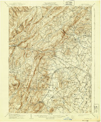
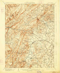
1909 Map of Fairfield
USGS Topo · Published 1939About this map
South Mountain Sanatorium anchors the steep, wooded heights of the South Mountain range in this early twentieth-century survey of western Adams County. The landscape is defined by the sharp contrast between the ridge-and-valley terrain to the west and the developing agricultural and orchard lands around Arendtsville and Bendersville to the east. Transportation corridors like the Chambersburg Pike and the Western Maryland Railroad connect established villages such as Fairfield, Cashtown, and Seven Stars. The presence of Maria Furnace reflects the region's earlier industrial history, while the margins of Gettysburg National Military Park indicate the area's significance in the wake of the Civil War. Dozens of rural institutions, including Flohrs Ch and the West Point School, are situated along the winding backroads and creeks like Marsh Creek and Conewago Creek.
Find a feature on this map
125 named features on this map. Tap any name to fly to it.
Don’t see what you’re looking for? This feature index may not catch every label — zoom into the map to look around manually.
Map Details
Editions of this 1909 Fairfield Map
6 editions found
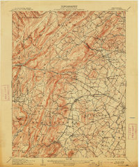
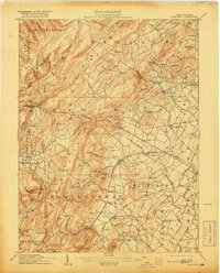
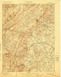
Other maps of this area

1902 · Chambersburg
USGS Topo · 1:62,500

1904 · Carlisle
USGS Topo · 1:62,500

1908 · Gettysburg
USGS Topo · 1:62,500

1909 · Fairfield
USGS Topo · 1:62,500

1909 · Hagerstown
USGS Topo · 1:48,000

1911 · Taneytown
USGS Topo · 1:62,500

1911 · Emmitsburg
USGS Topo · 1:62,500

1912 · Hagerstown
USGS Topo · 1:62,500

1919 · Newville
USGS Topo · 1:62,500

1923 · Shippensburg
USGS Topo · 1:62,500