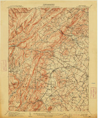
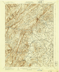
1909 Map of Fairfield
USGS Topo · Published 1913About this map
South Mountain Sanatorium sits prominently along the high ridges of Guilford and Hamiltonban townships, overlooking a landscape where the Western Maryland RR snakes through narrow valleys. This early 20th-century view reveals a corridor of concentrated rural activity along the Chambersburg Pike, connecting orchard and milling settlements like Cashtown and McKnightstown. The eastern slopes of the South Mountain range are marked by industrial history at Maria Furnace and the presence of small, dispersed communities such as Iron Springs and Bendersville.
Find a feature on this map
139 named features on this map. Tap any name to fly to it.
Don’t see what you’re looking for? This feature index may not catch every label — zoom into the map to look around manually.
Map Details
Editions of this 1909 Fairfield Map
6 editions found
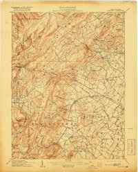
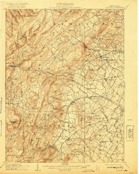
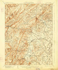
Other maps of this area

1902 · Chambersburg
USGS Topo · 1:62,500

1904 · Carlisle
USGS Topo · 1:62,500

1908 · Gettysburg
USGS Topo · 1:62,500

1909 · Fairfield
USGS Topo · 1:62,500

1909 · Hagerstown
USGS Topo · 1:48,000

1911 · Taneytown
USGS Topo · 1:62,500

1911 · Emmitsburg
USGS Topo · 1:62,500

1912 · Hagerstown
USGS Topo · 1:62,500

1919 · Newville
USGS Topo · 1:62,500

1923 · Shippensburg
USGS Topo · 1:62,500