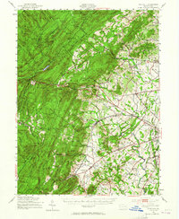
1951 Map of Fairfield
USGS Topo · Published 1965About this map
Michaux State Forest dominates the high ground of the South Mountain range, where narrow ridges like Jacks Mountain and Bear Mtn overlook a valley shaped by the Western Maryland railroad. This industrial and agricultural corridor is anchored by the village of Fairfield, which served as a focal point for local transportation alongside the Fairfield Sta. The map reveals a landscape transitioning from the heavily wooded state forest and its recreational sites, such as Caledonia Park, into the orchards and fertile fields of the Adams County fruit belt near Arendtsville and Biglerville.
Find a feature on this map
127 named features on this map. Tap any name to fly to it.
Don’t see what you’re looking for? This feature index may not catch every label — zoom into the map to look around manually.
Map Details
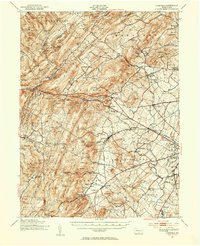
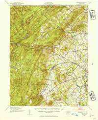
Editions of this 1951 Fairfield Map
3 editions found
Other maps of this area

1902 · Chambersburg
USGS Topo · 1:62,500

1904 · Carlisle
USGS Topo · 1:62,500

1908 · Gettysburg
USGS Topo · 1:62,500

1909 · Fairfield
USGS Topo · 1:62,500

1909 · Hagerstown
USGS Topo · 1:48,000

1911 · Taneytown
USGS Topo · 1:62,500

1911 · Emmitsburg
USGS Topo · 1:62,500

1912 · Hagerstown
USGS Topo · 1:62,500

1919 · Newville
USGS Topo · 1:62,500

1923 · Shippensburg
USGS Topo · 1:62,500