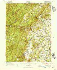
1951 Map of Fairfield
USGS Topo · Published 1954About this map
Fairfield and its surrounding orchards and ridges define this 1951 study of the Pennsylvania countryside as it appeared before mid-century modernization. The landscape is a network of small schoolhouses and family-named landmarks, such as Eicholtz Mill and Marys Mill, connected by the Western Maryland RR. Industry and recreation meet in the west, where the Chambersburg Reservoir and Caledonia Park sit within the expansive Michaux State Forest.
Find a feature on this map
116 named features on this map. Tap any name to fly to it.
Don’t see what you’re looking for? This feature index may not catch every label — zoom into the map to look around manually.
Map Details
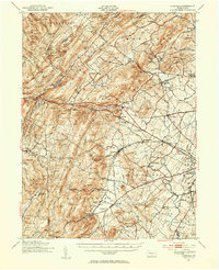
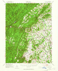
Editions of this 1951 Fairfield Map
3 editions found
Other maps of this area

1902 · Chambersburg
USGS Topo · 1:62,500

1904 · Carlisle
USGS Topo · 1:62,500

1908 · Gettysburg
USGS Topo · 1:62,500

1909 · Fairfield
USGS Topo · 1:62,500

1909 · Hagerstown
USGS Topo · 1:48,000

1911 · Taneytown
USGS Topo · 1:62,500

1911 · Emmitsburg
USGS Topo · 1:62,500

1912 · Hagerstown
USGS Topo · 1:62,500

1919 · Newville
USGS Topo · 1:62,500

1923 · Shippensburg
USGS Topo · 1:62,500