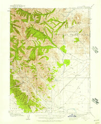
1915 Map of Fairfield
USGS Topo · Published 1957About this map
Mining operations and early military presence define the high-altitude landscape of the Oquirrh Mountains and Traverse Mountains during the early 20th century. This survey records an era of intense extraction, detailing numerous sites like the Queen Mine, Old Mayflower Mine, and Sacramento Mine. The rugged western peaks are punctuated by industrial landmarks such as the Utah Metal Co Tunnel and scattered mountain springs like Maple Flat Spring.
Find a feature on this map
79 named features on this map. Tap any name to fly to it.
Don’t see what you’re looking for? This feature index may not catch every label — zoom into the map to look around manually.
Map Details
Editions of this 1915 Fairfield Map
This is the sole edition of this map. No revisions or reprints were ever made.
Other maps of this area

1885 · Salt Lake
USGS Topo · 1:250,000
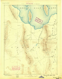
1885 · Tooele Valley
USGS Topo · 1:250,000
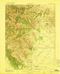
1917 · Fairfield
USGS Topo · 1:62,500
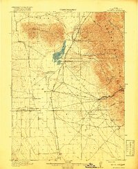
1918 · Stockton
USGS Topo · 1:62,500
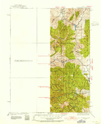
1925 · Ft. Douglas
USGS Topo · 1:125,000
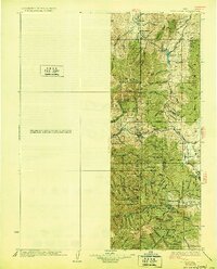
1928 · Ft. Douglas
USGS Topo · 1:125,000
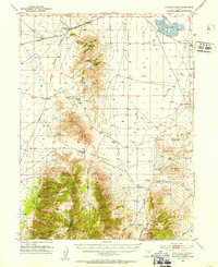
1947 · Fivemile Pass
USGS Topo · 1:62,500
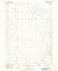
1947 · Goshen Pass
USGS Topo · 1:24,000
1949 · Fivemile Pass
USGS Topo · 1:24,000
1949 · Goshen Pass
USGS Topo · 1:24,000