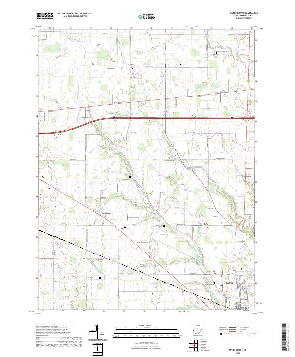
2023 Map of Fairhaven
USGS Topo · Published 2023About this map
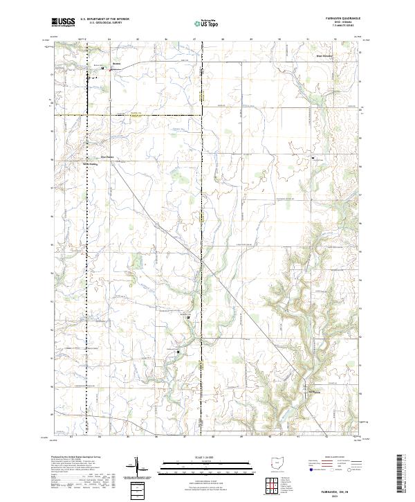
Fairhaven and the surrounding agricultural landscapes of the Ohio-Indiana border define this contemporary topographic portrait. Located at the intersection of Preble Co and Union Co, the region is characterized by a dense network of country roads and small, historic settlements like Boston and West Florence. The map reveals a deeply etched drainage pattern where Four Mile Creek and its many tributaries, such as Toney Run and Fleisch Run, wind through the township sections. Genealogists will find significant value in the distribution of rural burial grounds, including Pentecost Cem, Railsback Cem, and Concord Cem, which are often the last standing markers of early pioneer communities. The presence of Witts Station and Five Points suggests former rail or road junctions that once anchored the local rural economy, while Norris Field provides a modern aviation landmark amidst the traditional farmsteads.
Find a feature on this map
56 named features on this map. Tap any name to fly to it.
Don’t see what you’re looking for? This feature index may not catch every label — zoom into the map to look around manually.
Map Details
Editions of this 2023 Fairhaven Map
This is the sole edition of this map. No revisions or reprints were ever made.
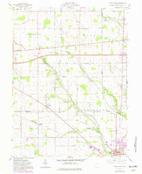
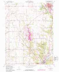
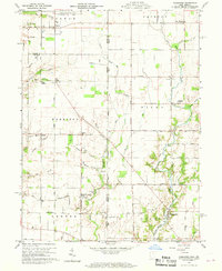
Historical Maps of Fairhaven Through Time
6 maps found