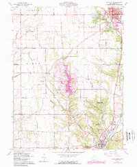
1960 Map of Eaton South
USGS Topo · Published 1988About this map
Sevenmile Creek carves a path through the southern townships of Preble County, anchoring the transition between the urban center of Eaton and the rural southern landscapes. This 1960 survey, updated in the late 1980s, reveals a terrain marked by ancient and historical sites, from the prominent Indian Mound near Mound Hill Cemetery to the sprawling Fort St Clair State Park. The map documents a cluster of communal and recreational landmarks, including the Woodland Trails Boy Scout Camp and Camp Cartwright, while small unincorporated settlements like Muttonville, Sugar Valley, and Posterville dot the road network.
Find a feature on this map
61 named features on this map. Tap any name to fly to it.
Don’t see what you’re looking for? This feature index may not catch every label — zoom into the map to look around manually.
Map Details
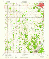
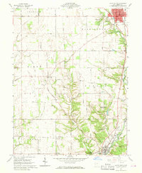
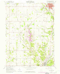
Editions of this 1960 Eaton South Map
4 editions found
Other maps of this area

1911 · Oxford
USGS Topo · 1:62,500

1915 · New Paris
USGS Topo · 1:48,000

1915 · College Corner
USGS Topo · 1:48,000

1918 · College Corner
USGS Topo · 1:62,500

1918 · New Paris
USGS Topo · 1:62,500

1953 · Cincinnati
USGS Topo · 1:250,000

1957 · Cincinnati
USGS Topo · 1:250,000

1960 · Fairhaven
USGS Topo · 1:24,000
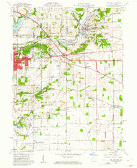
1960 · New Paris
USGS Topo · 1:24,000
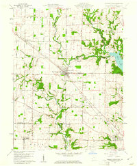
1960 · College Corner
USGS Topo · 1:24,000