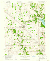
1960 Map of College Corner
USGS Topo · Published 1961About this map
College Corner straddles the Indiana-Ohio state line, serving as a focal point for this 1960 survey of a agricultural landscape where rail lines and local pikes dictate the geography of growth. The Baltimore and Ohio and Chesapeake and Ohio railroads intersect in the north, connecting smaller hamlets like Cottage Grove and Charlottesville to the larger regional network. The inclusion of the State Line Principal Meridian and multiple county boundaries, including those for Union, Franklin, and Butler, highlights the map's value for jurisdictional and genealogical research.
Find a feature on this map
40 named features on this map. Tap any name to fly to it.
Don’t see what you’re looking for? This feature index may not catch every label — zoom into the map to look around manually.
Map Details
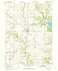
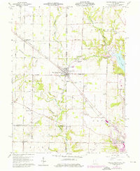
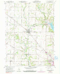
Editions of this 1960 College Corner Map
4 editions found
Other maps of this area

1911 · Oxford
USGS Topo · 1:62,500

1915 · College Corner
USGS Topo · 1:48,000

1915 · Harrison
USGS Topo · 1:48,000

1915 · Hamilton
USGS Topo · 1:62,500

1917 · Hamilton
USGS Topo · 1:62,500

1918 · College Corner
USGS Topo · 1:62,500

1948 · Fairfield
USGS Topo · 1:24,000

1953 · Cincinnati
USGS Topo · 1:250,000

1955 · Reily
USGS Topo · 1:24,000

1955 · Mount Carmel
USGS Topo · 1:24,000