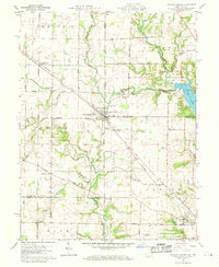
1960 Map of College Corner
USGS Topo · Published 1970About this map
College Corner straddles the state line in this 1960 field-checked survey, serving as a hub where the Baltimore and Ohio railroad cuts diagonally across the rural landscape. The map reveals a high concentration of water features that defined the local geography, including Four Mile Creek and Indian Creek, while the northeastern corner is dominated by the recreational waters of Acton Lake within Hueston Woods State Park. For those tracing local heritage, the map identifies small clusters like West College Corner and Cottage Grove, alongside several rural burial sites such as Keiffer Cem and Bethlehem Cem. The southern edge captures the fringes of Oxford, including the Miami University Airfield and a Golf Course, reflecting the institutional expansion into the surrounding agricultural land of Bath and Oxford townships.
Find a feature on this map
41 named features on this map. Tap any name to fly to it.
Don’t see what you’re looking for? This feature index may not catch every label — zoom into the map to look around manually.
Map Details
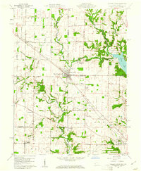
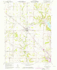
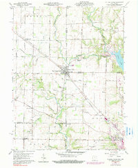
Editions of this 1960 College Corner Map
4 editions found
Other maps of this area

1911 · Oxford
USGS Topo · 1:62,500

1915 · College Corner
USGS Topo · 1:48,000

1915 · Harrison
USGS Topo · 1:48,000

1915 · Hamilton
USGS Topo · 1:62,500

1917 · Hamilton
USGS Topo · 1:62,500

1918 · College Corner
USGS Topo · 1:62,500

1948 · Fairfield
USGS Topo · 1:24,000

1953 · Cincinnati
USGS Topo · 1:250,000

1955 · Reily
USGS Topo · 1:24,000

1955 · Mount Carmel
USGS Topo · 1:24,000