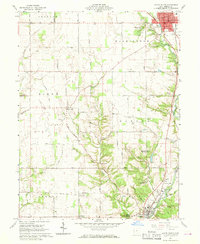
1960 Map of Eaton South
USGS Topo · Published 1970About this map
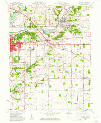
The city of Eaton serves as the northern anchor of this survey, where the Pennsylvania railroad line parallels Sevenmile Creek through the eastern corridor. This 1960 landscape reveals a transition from the structured street grid of the county seat to the winding valley of Pottenger Run and the rolling terrain of southern Preble County. Notable for its many rural burial grounds, the area includes the large Mound Hill Cemetery and smaller family sites like Gard Cem and Poyner Cem, which offer significant value for genealogical research.
Find a feature on this map
56 named features on this map. Tap any name to fly to it.
Don’t see what you’re looking for? This feature index may not catch every label — zoom into the map to look around manually.
Map Details
Editions of this 1960 Eaton South Map
4 editions found
Other maps of this area

1911 · Oxford
USGS Topo · 1:62,500

1915 · New Paris
USGS Topo · 1:48,000

1915 · College Corner
USGS Topo · 1:48,000

1918 · College Corner
USGS Topo · 1:62,500

1918 · New Paris
USGS Topo · 1:62,500

1953 · Cincinnati
USGS Topo · 1:250,000

1957 · Cincinnati
USGS Topo · 1:250,000

1960 · Fairhaven
USGS Topo · 1:24,000
1960 · New Paris
USGS Topo · 1:24,000
1960 · College Corner
USGS Topo · 1:24,000