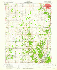
1960 Map of Eaton South
USGS Topo · Published 1962About this map
The Preble County seat of Eaton dominates the northern landscape, where the Courthouse and Armory sit at the heart of the settlement. To the southwest, the terrain is shaped by the winding courses of Sevenmile Creek and Four Mile Creek, providing a backdrop for numerous rural institutions and burial grounds. Genealogists can find several family and church graveyards such as Gard Cem and Quaker Ridge Cem, along with the massive Mound Hill Cemetery near the city. This era reflects a landscape dedicated to community and youth, marked by the St Clair Springs Childrens Home and the Woodland Trails (Boy Scout Camp). The southern rail corridor is defined by the Pennsylvania railroad line passing through Camden, while smaller settlements like Muttonville and Sugar Valley dot the crossroads of an extensive rural road network including Daily Road and Oxford Road.
Find a feature on this map
69 named features on this map. Tap any name to fly to it.
Don’t see what you’re looking for? This feature index may not catch every label — zoom into the map to look around manually.
Map Details
Editions of this 1960 Eaton South Map
4 editions found
Other maps of this area

1911 · Oxford
USGS Topo · 1:62,500

1915 · New Paris
USGS Topo · 1:48,000

1915 · College Corner
USGS Topo · 1:48,000

1918 · College Corner
USGS Topo · 1:62,500

1918 · New Paris
USGS Topo · 1:62,500

1953 · Cincinnati
USGS Topo · 1:250,000

1957 · Cincinnati
USGS Topo · 1:250,000

1960 · Fairhaven
USGS Topo · 1:24,000
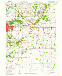
1960 · New Paris
USGS Topo · 1:24,000
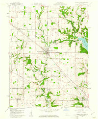
1960 · College Corner
USGS Topo · 1:24,000