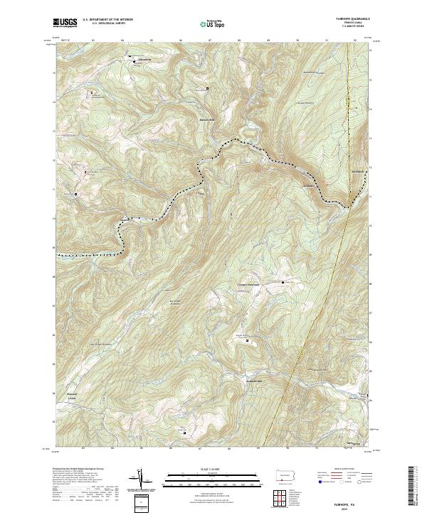
2023 Map of Fairhope
USGS Topo · Published 2023About this map
Johnsburg and the surrounding highlands of Somerset County define this pocket of the Allegheny Front. The landscape is marked by a deep genealogical footprint, preserved in private family burial grounds such as the Poorbaugh Homestead Cem and the Emerick Home Farm Cem. These small, scattered sites suggest a history of localized settlement and family-owned farmsteads that predated modern centralization.
Find a feature on this map
93 named features on this map. Tap any name to fly to it.
Don’t see what you’re looking for? This feature index may not catch every label — zoom into the map to look around manually.
Map Details
Editions of this 2023 Fairhope Map
This is the sole edition of this map. No revisions or reprints were ever made.
Other maps of this area

1898 · Frostburg
USGS Topo · 1:62,500

1899 · Flintstone
USGS Topo · 1:62,500

1900 · Flintstone
USGS Topo · 1:62,500

1901 · Frostburg
USGS Topo · 1:62,500

1908 · Frostburg
USGS Topo · 1:62,500

1923 · Berlin
USGS Topo · 1:48,000

1927 · Hyndman
USGS Topo · 1:62,500

1929 · Berlin
USGS Topo · 1:62,500

1931 · Hyndman
USGS Topo · 1:62,500

1944 · Hyndman
USGS Topo · 1:62,500
Featured Places
- Fairhope Township, PA
- Southampton Township, PA
- Northampton Township, PA
- Allegheny Township, PA
- Comps Crossroads, Southampton Township