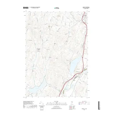
2018 Map of Fairlee
USGS Topo · Published 2018About this map
The Palisades loom over the Connecticut River valley in this 2018 survey of the borderlands between Vermont and New Hampshire. This map provides an intricate view of the rural settlements and family landmarks that define the region's heritage, such as West Fairlee Center and the village of Fairlee. The landscape is dominated by significant water bodies, including Lake Morey and Lake Fairlee, which are fed by a network of streams like Blood Brook and Middle Brook.
Find a feature on this map
95 named features on this map. Tap any name to fly to it.
Don’t see what you’re looking for? This feature index may not catch every label — zoom into the map to look around manually.
Map Details
Editions of this 2018 Fairlee Map
This is the sole edition of this map. No revisions or reprints were ever made.
Other maps of this area

1896 · Strafford
USGS Topo · 1:62,500

1931 · Mt. Cube
USGS Topo · 1:62,500

1931 · Woodsville
USGS Topo · 1:48,000

1933 · Mt. Cube
USGS Topo · 1:62,500

1935 · Woodsville
USGS Topo · 1:62,500

1941 · Woodsville
USGS Topo · 1:62,500

1944 · Strafford
USGS Topo · 1:62,500

1947 · Corinth
USGS Topo · 1:62,500

1948 · East Barre
USGS Topo · 1:62,500

1950 · Glens Falls
USGS Topo · 1:250,000