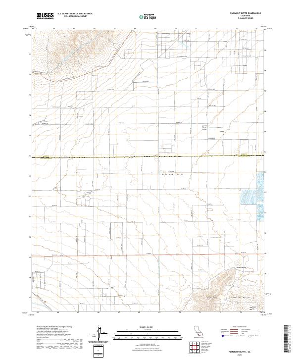
2021 Map of Fairmont Butte
USGS Topo · Published 2021About this map
The western edge of the Antelope Valley is defined by a striking transition from the high desert floor to the prominent volcanic heights of Fairmont Butte. This landscape is fundamentally shaped by California's water infrastructure, featuring both the original Los Angeles Aqueduct and the Second Los Angeles Aqueduct cutting across the terrain. The map captures a high-desert grid of dirt and paved roads, including the historical utility path of General Petroleum Rd and the recreational stretch of the Pacific Crest National Scenic Trl. Towards the southern end of the sheet, the Antelope Buttes and the rugged drainage of Broad Canyon provide a stark contrast to the flat development seen further north around Skyotee Ranch Airport. The border between Kern Co and Los Angeles Co bisects the area, highlighting the region's position at a geographic and administrative crossroads.
Find a feature on this map
49 named features on this map. Tap any name to fly to it.
Don’t see what you’re looking for? This feature index may not catch every label — zoom into the map to look around manually.
Map Details
Editions of this 2021 Fairmont Butte Map
This is the sole edition of this map. No revisions or reprints were ever made.
Other maps of this area

1903 · Tejon
USGS Topo · 1:125,000

1915 · Elizabeth Lake
USGS Topo · 1:125,000

1917 · Elizabeth Lake
USGS Topo · 1:125,000

1931 · Little Buttes
USGS Topo · 1:24,000

1932 · Fairmont
USGS Topo · 1:24,000

1933 · Manzana
USGS Topo · 1:24,000

1934 · Little Buttes
USGS Topo · 1:24,000
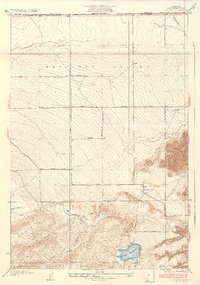
1937 · Fairmont
USGS Topo · 1:24,000
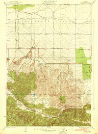
1938 · Manzana
USGS Topo · 1:24,000

1943 · Neenach
USGS Topo · 1:62,500