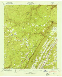
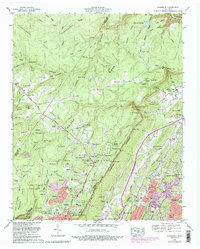
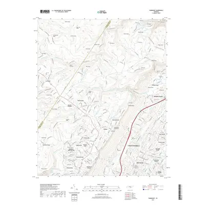
1945 Map of Fairmount
USGS Topo · Published 1957About this map
Cumberland Escarpment dominates this 1945 landscape, creating a sharp geological divide between the high plateau of Signal Mountain and the lower valley where Red Bank sits. The William Howard Taft Highway winds through the uplands, connecting rural communities such as Fairmount and Lone Oak. This postwar-era survey provides a detailed look at the local infrastructure supporting these mountaintop settlements, including the Nathan L Bachman Sch and several small churches like Mt View Ch.
Find a feature on this map
87 named features on this map. Tap any name to fly to it.
Don’t see what you’re looking for? This feature index may not catch every label — zoom into the map to look around manually.
Map Details
Editions of this 1945 Fairmount Map
This is the sole edition of this map. No revisions or reprints were ever made.
Historical Maps of Chattanooga Through Time
10 maps found
1936 Fairmount
Hamilton County, TN
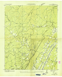
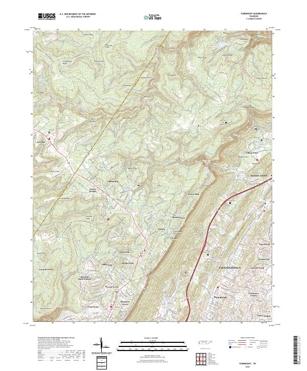
1945 Fairmount
Hamilton County, TN
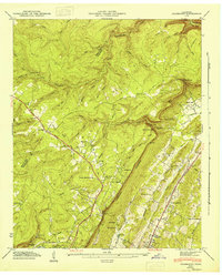
1946 Fairmount
Hamilton County, TN
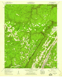
1958 Fairmount
Hamilton County, TN
1969 Fairmount
Hamilton County, TN
2010 Fairmount
Hamilton County, TN
2013 Fairmount
Hamilton County, TN
2016 Fairmount
Hamilton County, TN
2019 Fairmount
Hamilton County, TN
2022 Fairmount
Hamilton County, TN