2024 Map of Fairmount
USGS Topo · Published 2024About this map
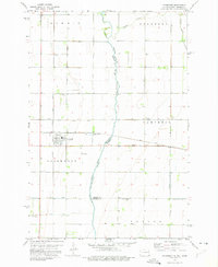
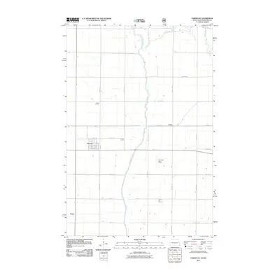
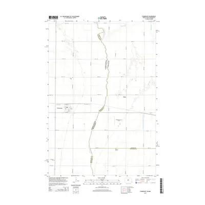
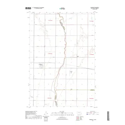
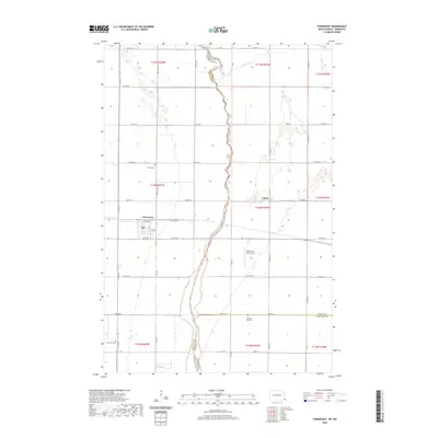
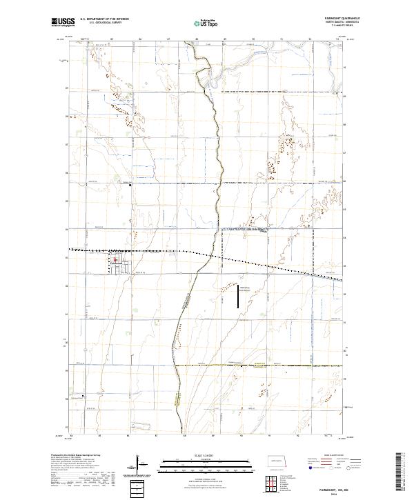
Fairmount serves as the primary hub in this corner of North Dakota, situated where the state boundary meets both Minnesota and South Dakota. The landscape is defined by the winding course of the Bois de Sioux River, which forms the border between North Dakota and Minnesota. This river, along with the Rabbit River, drains the low-lying agricultural plains. The map reveals a highly organized grid of rural section roads, punctuated by the small settlement at Childs and the localized aviation hub at Wetherbee Farm Airport.
Find a feature on this map
52 named features on this map. Tap any name to fly to it.
Don’t see what you’re looking for? This feature index may not catch every label — zoom into the map to look around manually.
Map Details
Editions of this 2024 Fairmount Map
This is the sole edition of this map. No revisions or reprints were ever made.
Historical Maps of Fairmount Through Time
6 maps found