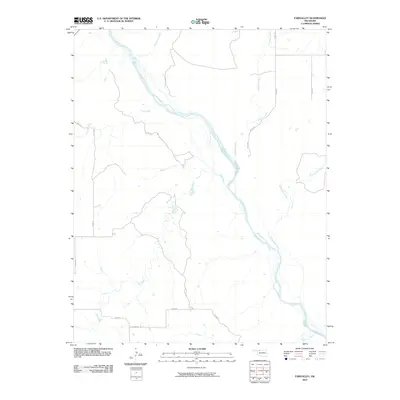
2010 Map of Fairvalley
USGS Topo · Published 2010About this map
The Cimarron River carves a broad, braided path southeast through this portion of Woods County, defining the drainage patterns for the surrounding prairie. This 2010 edition illustrates a landscape dominated by natural watercourses and a rigid grid of rural section-line roads, such as n2240 RD and e0260 RD. Numerous tributaries feed the main river valley, including Redhorse Creek and Long Creek from the west, while Wildcat Creek and Whitehorse Creek descend from the eastern elevations. The map reveals the characteristic settlement patterns of the Oklahoma plains, where development follows the established roadway grid and the winding paths of seasonal creeks like Doe Creek and Chimney Creek.
Find a feature on this map
17 named features on this map. Tap any name to fly to it.
Don’t see what you’re looking for? This feature index may not catch every label — zoom into the map to look around manually.
Map Details
Editions of this 2010 Fairvalley Map
This is the sole edition of this map. No revisions or reprints were ever made.
Other maps of this area

1955 · Woodward
USGS Topo · 1:250,000

1958 · Woodward
USGS Topo · 1:250,000

1969 · Waynoka NW
USGS Topo · 1:24,000

1969 · Tegarden
USGS Topo · 1:24,000

1969 · Waynoka West
USGS Topo · 1:24,000

1970 · Fairvalley SW
USGS Topo · 1:24,000

1970 · Alabaster Caverns
USGS Topo · 1:24,000

1970 · Fairvalley SE
USGS Topo · 1:24,000

1970 · Fairvalley
USGS Topo · 1:24,000

1970 · Edith
USGS Topo · 1:24,000