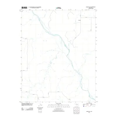
2012 Map of Fairvalley
USGS Topo · Published 2012About this map
Fairvalley sits in the northeastern reaches of this Woods County landscape, positioned along a network of section roads that define the rural character of the Oklahoma plains. The dominant geographic feature is the braided channel of the Cimarron River, which cuts diagonally across the terrain from northwest to southeast. This wide riverbed acts as the primary drainage for numerous seasonal streams, including the well-defined courses of Whitehorse Cr and Wildcat Cr. The agricultural grid is notably dense here, with roads like n2240 RD and e0190 RD following the historic township and range lines. The topography reveals a series of subtle draws and drainages, such as Doe Cr and Long Cr, which feed into the central river system, illustrating the natural water management of the high plains before modern industrial shifts.
Find a feature on this map
22 named features on this map. Tap any name to fly to it.
Don’t see what you’re looking for? This feature index may not catch every label — zoom into the map to look around manually.
Map Details
Editions of this 2012 Fairvalley Map
This is the sole edition of this map. No revisions or reprints were ever made.
Other maps of this area

1955 · Woodward
USGS Topo · 1:250,000

1958 · Woodward
USGS Topo · 1:250,000

1969 · Waynoka NW
USGS Topo · 1:24,000

1969 · Tegarden
USGS Topo · 1:24,000

1969 · Waynoka West
USGS Topo · 1:24,000

1970 · Fairvalley SW
USGS Topo · 1:24,000

1970 · Alabaster Caverns
USGS Topo · 1:24,000

1970 · Fairvalley SE
USGS Topo · 1:24,000

1970 · Fairvalley
USGS Topo · 1:24,000

1970 · Edith
USGS Topo · 1:24,000