
1960 Map of Fairview
USGS Topo · Published 1961About this map
Fairview and Powhattan serve as the primary hubs of this Brown County landscape, positioned within a network of prairie drainages and established agricultural lands. The terrain is bifurcated by the Chicago Rock Island And Pacific railroad, which cuts diagonally across the township lines. A significant historical marker, the Old Indian Boundary, runs through the center of the sheet, reflecting the complex jurisdictional history of the region.
Find a feature on this map
23 named features on this map. Tap any name to fly to it.
Don’t see what you’re looking for? This feature index may not catch every label — zoom into the map to look around manually.
Map Details
Editions of this 1960 Fairview Map
This is the sole edition of this map. No revisions or reprints were ever made.
Other maps of this area

1888 · Hiawatha
USGS Topo · 1:125,000

1894 · Hiawatha
USGS Topo · 1:125,000

1950 · Kansas City
USGS Topo · 1:250,000

1954 · Kansas City
USGS Topo · 1:250,000

1956 · Kansas City
USGS Topo · 1:250,000
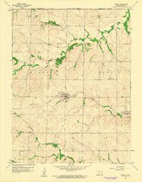
1959 · Morrill
USGS Topo · 1:24,000

1960 · Kansas City
USGS Topo · 1:250,000
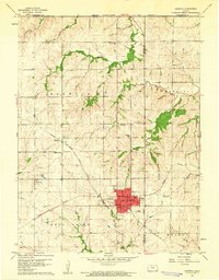
1960 · Sabetha
USGS Topo · 1:24,000
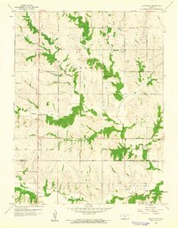
1960 · Horton NW
USGS Topo · 1:24,000
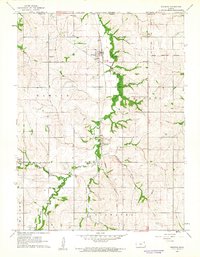
1960 · Reserve
USGS Topo · 1:24,000