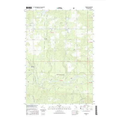
2017 Map of Fairview
USGS Topo · Published 2017About this map
The Au Sable River meanders through the southern portion of this landscape, carving a valley that separates the Huron National Forest from the small northern settlements of Fairview and Kneeland. This region of Oscoda County is characterized by a mix of forestry, aviation, and rural habitation, anchored by the Oscoda County Dennis Kauffman Memorial Airport near Mio. The terrain is marked by numerous glacial depressions containing water bodies like Horseshoe Lake, Perry Lake, and Sherwood Pond, which drain into a network of small creeks such as Joslin Cr and Comins Cr.
Find a feature on this map
47 named features on this map. Tap any name to fly to it.
Don’t see what you’re looking for? This feature index may not catch every label — zoom into the map to look around manually.
Map Details
Editions of this 2017 Fairview Map
This is the sole edition of this map. No revisions or reprints were ever made.
Other maps of this area

1954 · Traverse City
USGS Topo · 1:250,000

1954 · Tawas City
USGS Topo · 1:250,000
1955 · Comins
USGS Topo · 1:62,500

1958 · Traverse City
USGS Topo · 1:250,000

1958 · Tawas City
USGS Topo · 1:250,000
1972 · McKinley
USGS Topo · 1:24,000
1972 · McCollum Lake
USGS Topo · 1:24,000
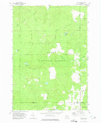
1972 · Goodar
USGS Topo · 1:24,000
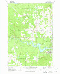
1972 · Mio
USGS Topo · 1:24,000
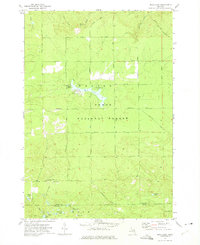
1972 · Mack Lake
USGS Topo · 1:24,000