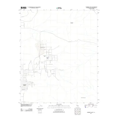
2012 Map of Fairview Valley
USGS Topo · Published 2012About this map
Fairview Valley is defined by its wide, arid landscape and the distinct grid of residential and utility roads that expand south of Fairview Dry Lake. The community of Thunderbird Ranches anchors the southwestern portion of the sheet, where a network of streets with Western and tribal-inspired names like Apache Trl, Zuni Rd, and Cahuilla Rd indicate a specific era of high-desert development. In this transition between the basin floor and the surrounding high ground of Sidewinder Mountain and the Granite Mountains, the map reveals how human settlement has adapted to the topography.
Find a feature on this map
44 named features on this map. Tap any name to fly to it.
Don’t see what you’re looking for? This feature index may not catch every label — zoom into the map to look around manually.
Map Details
Editions of this 2012 Fairview Valley Map
This is the sole edition of this map. No revisions or reprints were ever made.
Other maps of this area

1901 · Southern California Sheet No. 1
USGS Topo · 1:250,000

1902 · Deep Creek
USGS Topo · 1:62,500

1902 · San Gorgonio
USGS Topo · 1:125,000

1904 · Southern California Sheet No. 1
USGS Topo · 1:250,000

1932 · Barstow
USGS Topo · 1:125,000

1934 · Barstow
USGS Topo · 1:125,000

1947 · Lucerne Valley
USGS Topo · 1:62,500

1949 · Lucerne Valley
USGS Topo · 1:62,500

1953 · San Bernardino
USGS Topo · 1:250,000

1955 · Ord Mountains
USGS Topo · 1:62,500