
1955 Map of Ord Mountains
USGS Topo · Published 1956About this map
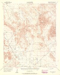
The High Desert landscape of the Ord Mountains and Stoddard Valley is defined by a sparse but vital network of springs and mining operations. At the center, Ord Mountain towers over a complex of early-to-mid-century extraction sites, including the New Deal Mine, Anita Mine, and the Gold Belt Mine. These isolated outposts were tethered to the landscape by reliable water sources such as Aztec Spring, Goat Spring, and Sweetwater Spr, which dictated the feasibility of habitation and industry in this arid corridor south of the Newberry Mountains.
Find a feature on this map
42 named features on this map. Tap any name to fly to it.
Don’t see what you’re looking for? This feature index may not catch every label — zoom into the map to look around manually.
Map Details
Editions of this 1955 Ord Mountains Map
4 editions found
Other maps of this area

1901 · Southern California Sheet No. 1
USGS Topo · 1:250,000

1902 · Deep Creek
USGS Topo · 1:62,500

1902 · San Gorgonio
USGS Topo · 1:125,000

1904 · Southern California Sheet No. 1
USGS Topo · 1:250,000

1932 · Barstow
USGS Topo · 1:125,000

1934 · Barstow
USGS Topo · 1:125,000

1947 · Lucerne Valley
USGS Topo · 1:62,500

1949 · Lucerne Valley
USGS Topo · 1:62,500

1953 · San Bernardino
USGS Topo · 1:250,000

1955 · Old Woman Springs
USGS Topo · 1:62,500