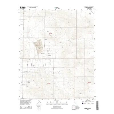
2015 Map of Fairview Valley
USGS Topo · Published 2015About this map
Thunderbird Ranches and the community of Apple Valley occupy the southwestern reaches of this High Desert landscape, where residential street grids like Cahuilla Rd and Redwing Rd meet the open terrain of the Mojave Desert. The topography is defined by the stark isolation of Fairview Mtn and Sidewinder Mtn, which rise sharply above the flat expanse of Fairview Valley. At the heart of the valley lies Fairview Dry Lake, a prominent seasonal feature near the Holiday Ranch Airport. Several water sources, including Isabelle Spring, McInnis Spring, and Amaral Spring, are tucked into the drainages of the Granite Mountains and northern foothills. This mapping record captures the suburban expansion of San Bernardino County as it pushes into traditional ranching and desert lands, connected by a network of established routes such as Lucerne Valley Cutoff and Johnson Rd.
Find a feature on this map
59 named features on this map. Tap any name to fly to it.
Don’t see what you’re looking for? This feature index may not catch every label — zoom into the map to look around manually.
Map Details
Editions of this 2015 Fairview Valley Map
This is the sole edition of this map. No revisions or reprints were ever made.
Other maps of this area

1901 · Southern California Sheet No. 1
USGS Topo · 1:250,000

1902 · Deep Creek
USGS Topo · 1:62,500

1902 · San Gorgonio
USGS Topo · 1:125,000

1904 · Southern California Sheet No. 1
USGS Topo · 1:250,000

1932 · Barstow
USGS Topo · 1:125,000

1934 · Barstow
USGS Topo · 1:125,000

1947 · Lucerne Valley
USGS Topo · 1:62,500

1949 · Lucerne Valley
USGS Topo · 1:62,500

1953 · San Bernardino
USGS Topo · 1:250,000

1955 · Ord Mountains
USGS Topo · 1:62,500