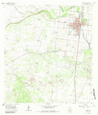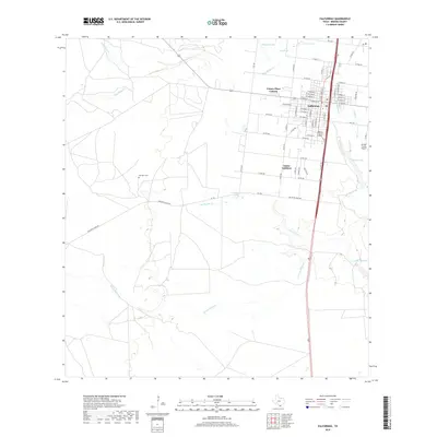
1985 Map of Falfurrias
USGS Topo · Published 1985About this map
The South Texas Brush Country around Falfurrias is defined by a sparse network of ranching communities and active petroleum production during the mid-1980s. The Texas Mexican RR serves as a primary east-west corridor, connecting Hebbronville, Bruni, and Oilton, while the Southern Pacific line runs north-south through Premont. This era shows a landscape heavily marked by energy extraction, with named zones like the Thanksgiving Oil Field and the Canales Blucher Oil Field distributed across the dry ranchlands. The hydrology of the region is characterized by ephemeral drainages such as Arroyo Baluarte and Macho Creek, which traverse the wide plains toward the Laguna Salada to the southeast. Smaller, culturally significant settlements like Concepcion, Realitos, and Sejita appear as vital hubs for local history and genealogy in the Jim Hogg, Brooks, and Duval county borderlands.
Find a feature on this map
66 named features on this map. Tap any name to fly to it.
Don’t see what you’re looking for? This feature index may not catch every label — zoom into the map to look around manually.
Map Details
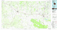
Editions of this 1985 Falfurrias Map
2 editions found
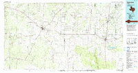
Historical Maps of Falfurrias Through Time
8 maps found