Loading...
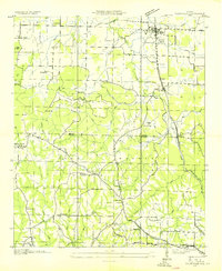
Loading map...1949 Map of Falkville
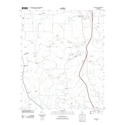
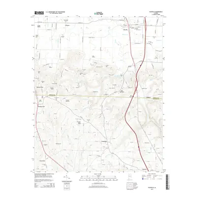
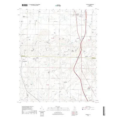
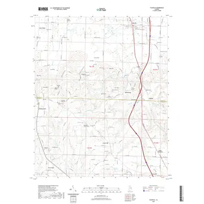
USGS Topo · Published 1983About this map
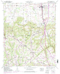
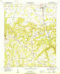
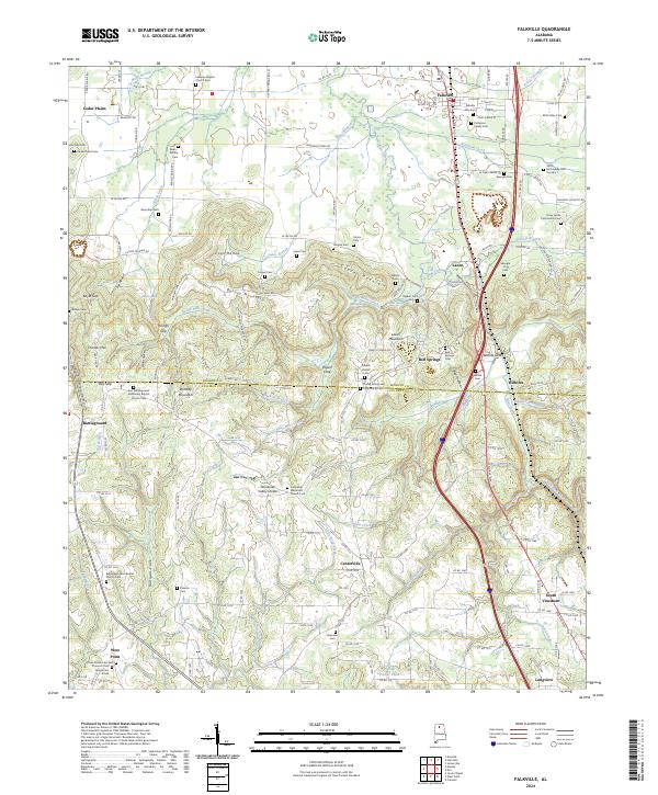
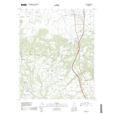
The town of Falkville and the winding course of the Louisville and Nashville railroad anchor this mid-century survey of the North Alabama landscape. This territory is defined by the significant ascent onto Brindley Mountain, where the terrain transitions from the valley floors of Flint Creek to high coves and hollows. A legacy of early transport is preserved here in the Old Tennessee Corn Road, which cuts across the southern portion of the map near the Morgan Co Cullman Co line.
Find a feature on this map
61 named features on this map. Tap any name to fly to it.
Don’t see what you’re looking for? This feature index may not catch every label — zoom into the map to look around manually.
Map Details
Date Portrayed1949
Date Published1983
PublisherU.S. Geological Survey
Map TypeTopographic
Scale1:24,000
Physical Dimensions22 x 26.9 inches
Editions of this 1949 Falkville Map
4 editions found
Historical Maps of Falkville Through Time
9 maps found
Featured Locations
Source Details
SourceU.S. Geological Survey
CopyrightPublic Domain