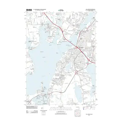
2012 Map of Fall River
USGS Topo · Published 2012About this map
Fall River serves as the industrial and maritime anchor of this coastal region, where the Quequechan River meets the Taunton River before emptying into Mount Hope Bay. The cityscape is defined by its deep textile heritage, evidenced by prominent industrial complexes like Durfee Mills, Union Mills, and Tecumseh Mill Number One. These landmarks, along with the American Linen Company Row Houses, trace the evolution of the city's manufacturing core near the waterfront.
Find a feature on this map
114 named features on this map. Tap any name to fly to it.
Don’t see what you’re looking for? This feature index may not catch every label — zoom into the map to look around manually.
Map Details
Editions of this 2012 Fall River Map
This is the sole edition of this map. No revisions or reprints were ever made.
Other maps of this area

1885 · Taunton
USGS Topo · 1:62,500

1887 · Providence
USGS Topo · 1:62,500

1888 · Fall River
USGS Topo · 1:62,500

1888 · Taunton
USGS Topo · 1:62,500

1889 · Providence
USGS Topo · 1:62,500

1890 · Narragansett Bay
USGS Topo · 1:62,500

1892 · Narragansett Bay
USGS Topo · 1:62,500

1893 · Taunton
USGS Topo · 1:62,500

1893 · Fall River
USGS Topo · 1:62,500

1894 · Providence
USGS Topo · 1:62,500