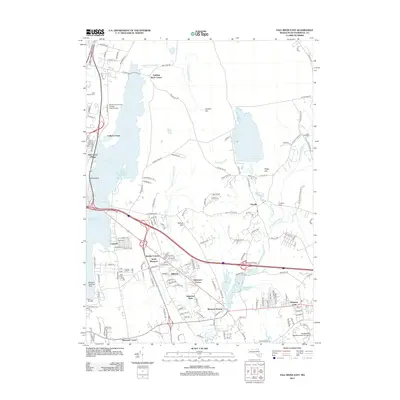
2012 Map of Fall River East
USGS Topo · Published 2012About this map
Watuppa Pond and South Watuppa Pond dominate the western edge of this landscape, separated by the narrow channel known simply as The Narrows. This region of Bristol County is defined by a dense network of residential clusters and historical corners, including North Westport, Oak Grove Village, and Hixville. Significant educational institutions like Bristol Community College East Campus and Southeastern Massachusetts University are prominent landmarks, reflecting the area's development.
Find a feature on this map
179 named features on this map. Tap any name to fly to it.
Don’t see what you’re looking for? This feature index may not catch every label — zoom into the map to look around manually.
Map Details
Editions of this 2012 Fall River East Map
This is the sole edition of this map. No revisions or reprints were ever made.
Other maps of this area

1885 · New Bedford
USGS Topo · 1:62,500

1885 · Middleboro
USGS Topo · 1:62,500

1885 · Taunton
USGS Topo · 1:62,500

1888 · New Bedford
USGS Topo · 1:62,500

1888 · Fall River
USGS Topo · 1:62,500

1888 · Taunton
USGS Topo · 1:62,500

1888 · Middleboro
USGS Topo · 1:62,500

1893 · Taunton
USGS Topo · 1:62,500

1893 · Middleboro
USGS Topo · 1:62,500

1893 · Fall River
USGS Topo · 1:62,500