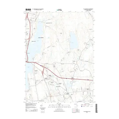
2015 Map of Fall River East
USGS Topo · Published 2015About this map
Fall River serves as the focal point for this eastern quadrangle, where the transition from urban industry to a protected watershed is clearly defined. The eastern periphery is dominated by the Copicut Reservoir and the Copicut River valley, a landscape shaped by historical land use and modern conservation. Educational institutions mark the landscape's evolution, including the Bristol Community Coll and the expansive campus of the University of Massachusetts-Dartmouth at the southeastern corner.
Find a feature on this map
130 named features on this map. Tap any name to fly to it.
Don’t see what you’re looking for? This feature index may not catch every label — zoom into the map to look around manually.
Map Details
Editions of this 2015 Fall River East Map
This is the sole edition of this map. No revisions or reprints were ever made.
Other maps of this area

1885 · New Bedford
USGS Topo · 1:62,500

1885 · Middleboro
USGS Topo · 1:62,500

1885 · Taunton
USGS Topo · 1:62,500

1888 · New Bedford
USGS Topo · 1:62,500

1888 · Fall River
USGS Topo · 1:62,500

1888 · Taunton
USGS Topo · 1:62,500

1888 · Middleboro
USGS Topo · 1:62,500

1893 · Taunton
USGS Topo · 1:62,500

1893 · Middleboro
USGS Topo · 1:62,500

1893 · Fall River
USGS Topo · 1:62,500