
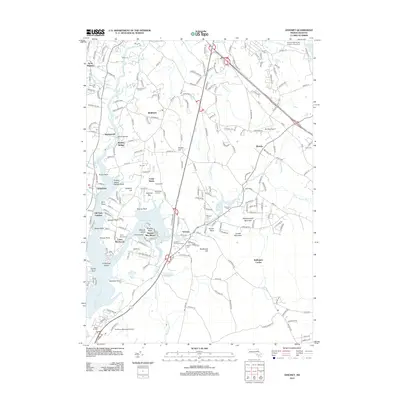
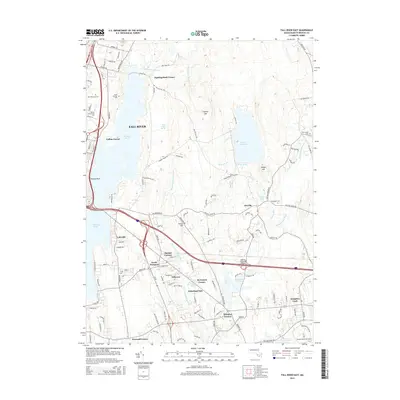
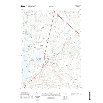
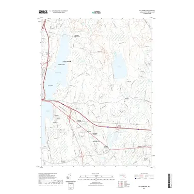
2024 Map of Fall River East
USGS Topo · Published 2024About this map
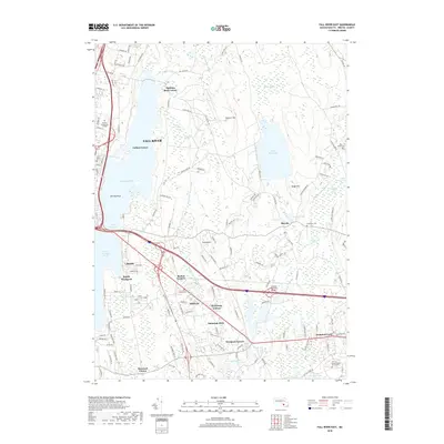
Copicut Reservoir and the surrounding woodlands of the Fall River and Westport borderlands dominate this modern landscape. The area is characterized by an extensive network of family burial grounds and historical cemeteries, such as the Alice and Elijah Blossom Burial Ground and Hathaway Commons Cem, reflecting the deep ancestral roots of the local farming and seafaring families. The transition from industrial heritage to modern education is evident, with the Westport Factory site standing in contrast to the sprawling campuses of Bristol Community College and the University of Massachusetts Dartmouth. Water shapes the terrain, from the expansive Watuppa Pond to the meandering Shingle Island River and the secluded King Phillips Swamp. Small crossroads settlements like Hixville, where the Hixville Meeting House still stands, and Fighting Rock Corner anchor the region's historical geography.
Find a feature on this map
181 named features on this map. Tap any name to fly to it.
Don’t see what you’re looking for? This feature index may not catch every label — zoom into the map to look around manually.
Map Details
Editions of this 2024 Fall River East Map
This is the sole edition of this map. No revisions or reprints were ever made.
Historical Maps of Fall River Through Time
80 maps found

1893 Fairhaven
Bristol County, MA

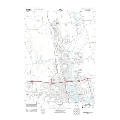
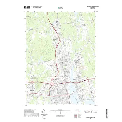
1936 New Bedford North
Bristol County, MA

1936 South Dartmouth
Bristol County, MA

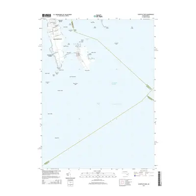
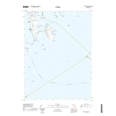
1940 Sconticut Neck
Bristol County, MA

1941 New Bedford North
Bristol County, MA

1941 New Bedford South
Bristol County, MA

1943 Assonet
Bristol County, MA

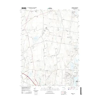
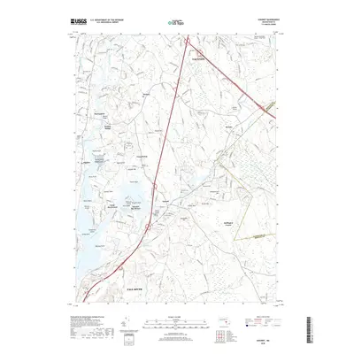
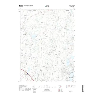
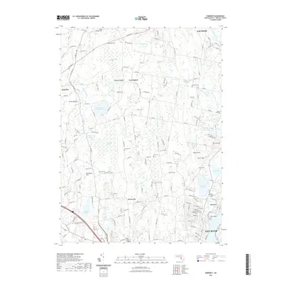
1943 Somerset
Bristol County, MA

1944 Fall River East
Bristol County, MA

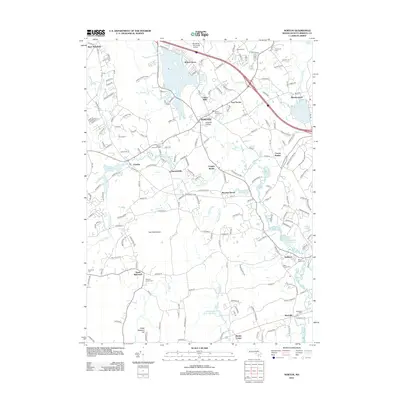
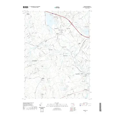
1944 Norton
Bristol County, MA

1948 New Bedford North
Bristol County, MA

1948 New Bedford South
Bristol County, MA

1948 Sconticut Neck
Bristol County, MA

1948 Somerset
Bristol County, MA

1951 Assonet
Bristol County, MA

1951 Fall River East
Bristol County, MA

1951 Norton
Bristol County, MA

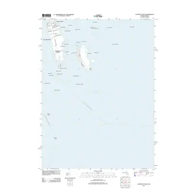
1962 Sconticut Neck
Bristol County, MA

1963 Assonet
Bristol County, MA

1963 Fall River East
Bristol County, MA

1963 New Bedford South
Bristol County, MA

1964 New Bedford North
Bristol County, MA

1964 Norton
Bristol County, MA

1967 Somerset
Bristol County, MA

1975 Sconticut Neck
Bristol County, MA

1977 Assonet
Bristol County, MA

1977 Fall River East
Bristol County, MA

1977 New Bedford North
Bristol County, MA

1977 New Bedford South
Bristol County, MA

1977 Norton
Bristol County, MA

1977 Sconticut Neck
Bristol County, MA

1977 Somerset
Bristol County, MA

1979 New Bedford North
Bristol County, MA

1985 Somerset
Bristol County, MA

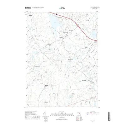
1985 Westport
Bristol County, MA
2012 Assonet
Bristol County, MA
2012 Fall River East
Bristol County, MA
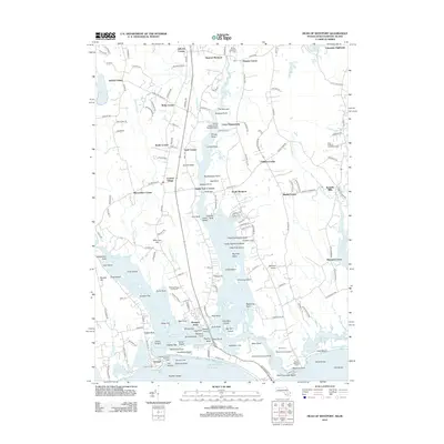
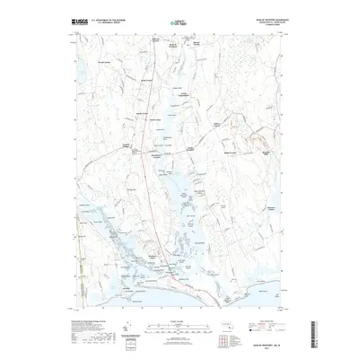
2012 Head of Westport
Bristol County, MA
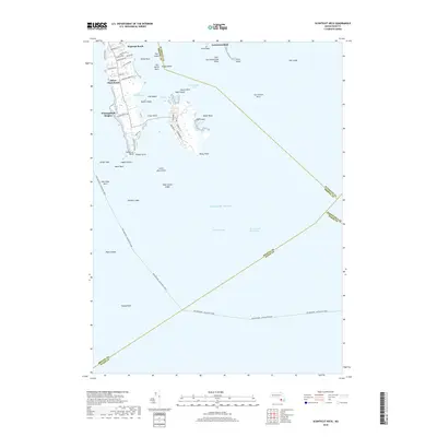
2012 Head of Westport OE S
Bristol County, MA
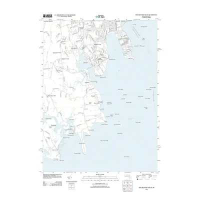
2012 New Bedford North
Bristol County, MA
2012 New Bedford South
Bristol County, MA
2012 Norton
Bristol County, MA
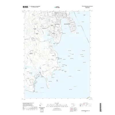
2012 Sconticut Neck
Bristol County, MA
2012 Somerset
Bristol County, MA
2015 Assonet
Bristol County, MA
2015 Fall River East
Bristol County, MA
2015 Head of Westport
Bristol County, MA
2015 Head of Westport OE S
Bristol County, MA
2015 New Bedford North
Bristol County, MA
2015 New Bedford South
Bristol County, MA
2015 Norton
Bristol County, MA
2015 Sconticut Neck
Bristol County, MA
2015 Somerset
Bristol County, MA
2018 Assonet
Bristol County, MA
2018 Fall River East
Bristol County, MA
2018 Head of Westport
Bristol County, MA
2018 Head of Westport OE S
Bristol County, MA
2018 New Bedford North
Bristol County, MA
2018 New Bedford South
Bristol County, MA
2018 Norton
Bristol County, MA
2018 Sconticut Neck
Bristol County, MA
2018 Somerset
Bristol County, MA
2021 Assonet
Bristol County, MA
2021 Fall River East
Bristol County, MA
2021 Head of Westport
Bristol County, MA

2021 Head of Westport OE S
Bristol County, MA
2021 New Bedford North
Bristol County, MA
2021 New Bedford South
Bristol County, MA
2021 Norton
Bristol County, MA
2021 Sconticut Neck
Bristol County, MA
2021 Somerset
Bristol County, MA

2024 Assonet
Bristol County, MA
2024 Fall River East
Bristol County, MA

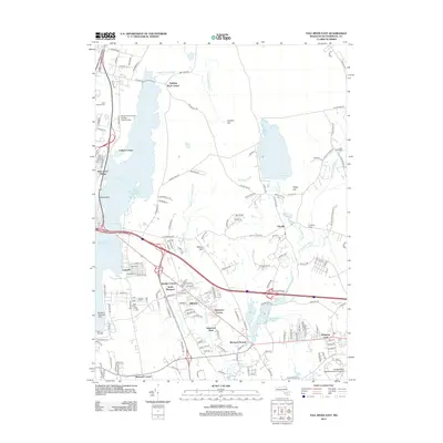
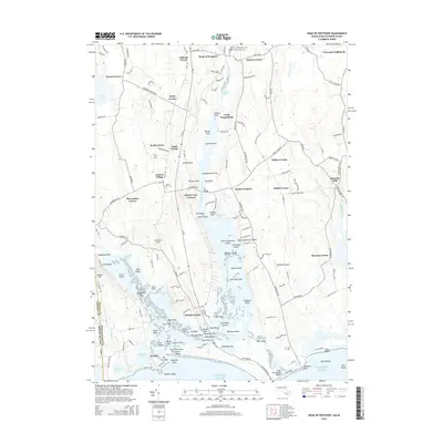
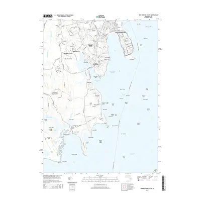
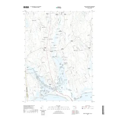
2024 Head of Westport
Bristol County, MA

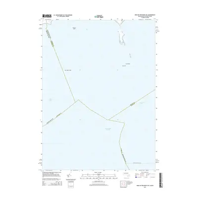
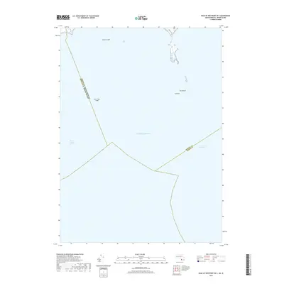
2024 Head of Westport OE S
Bristol County, MA

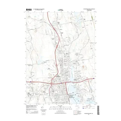
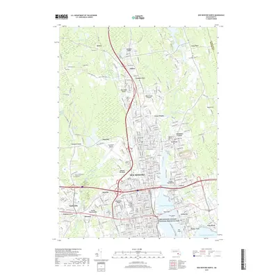
2024 New Bedford North
Bristol County, MA

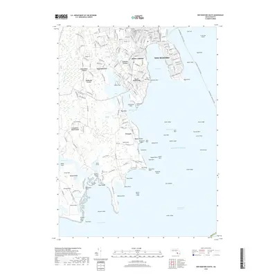
2024 New Bedford South
Bristol County, MA

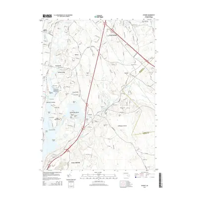
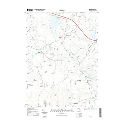
2024 Norton
Bristol County, MA

2024 Sconticut Neck
Bristol County, MA

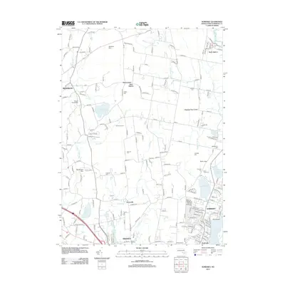
2024 Somerset
Bristol County, MA