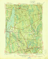
1944 Map of Fall River East
USGS Topo · Published 1944About this map
The expansive Watuppa Pond, divided into its North and South sections, dominates the western landscape of this 1944 survey. This region of Bristol County illustrates a mid-century transition as agricultural land met growing residential nodes like Lakeside and North Westport. The northeastern corner is heavily defined by the Freetown State Forest, where a Firetower stands atop Copicut Hill, overlooking a network of brooks such as King Philip Brook and Blossom Brook.
Find a feature on this map
63 named features on this map. Tap any name to fly to it.
Don’t see what you’re looking for? This feature index may not catch every label — zoom into the map to look around manually.
Map Details
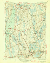
Editions of this 1944 Fall River East Map
2 editions found
Other maps of this area

1885 · New Bedford
USGS Topo · 1:62,500

1885 · Middleboro
USGS Topo · 1:62,500

1885 · Taunton
USGS Topo · 1:62,500

1888 · New Bedford
USGS Topo · 1:62,500

1888 · Fall River
USGS Topo · 1:62,500

1888 · Taunton
USGS Topo · 1:62,500

1888 · Middleboro
USGS Topo · 1:62,500

1893 · Taunton
USGS Topo · 1:62,500

1893 · Middleboro
USGS Topo · 1:62,500

1893 · Fall River
USGS Topo · 1:62,500