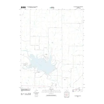
2010 Map of Fall River Lake
USGS Topo · Published 2010About this map
Fall River Lake dominates this Greenwood County landscape, where the waters of the Fall River are impounded within a network of prairie drainages. The 2010 geography reveals a rural infrastructure defined by section-line roads such as 60th St and Twp Rd 393, supporting a sparse settlement pattern of scattered farmsteads and small aviation facilities like Heir Airport. Local history is preserved in several burial grounds, including Township Cemetery near the lake’s northern reaches and Browns Chapel Cemetery situated to the south.
Find a feature on this map
44 named features on this map. Tap any name to fly to it.
Don’t see what you’re looking for? This feature index may not catch every label — zoom into the map to look around manually.
Map Details
Editions of this 2010 Fall River Lake Map
This is the sole edition of this map. No revisions or reprints were ever made.
Other maps of this area

1885 · Eureka
USGS Topo · 1:125,000

1886 · Fredonia
USGS Topo · 1:125,000

1888 · Eureka
USGS Topo · 1:125,000

1894 · Fredonia
USGS Topo · 1:125,000

1894 · Eureka
USGS Topo · 1:125,000

1938 · Fredonia
USGS Topo · 1:62,500

1939 · Fredonia
USGS Topo · 1:48,000

1939 · Severy
USGS Topo · 1:62,500

1941 · Severy
USGS Topo · 1:62,500

1942 · Fredonia
USGS Topo · 1:62,500