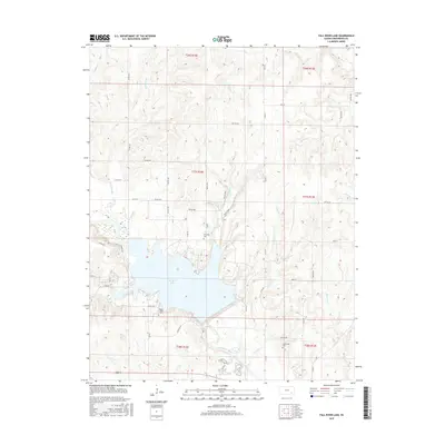
2015 Map of Fall River Lake
USGS Topo · Published 2015About this map
Fall River Lake dominates the central landscape of this Greenwood County region, where the controlled waters of the Fall River meet several incoming tributaries. The terrain is marked by distinct drainages like Badger Cr and Crain Cr, which carve through the plains. Local history is anchored by several rural burial grounds, including Township Cem, Browns Chapel Cem, and Charleston Cem, reflecting the area's early agricultural settlement patterns. Recreational and navigation points such as Lookout Pt and the established North Trail and South Trail suggest the area's dual role as a managed watershed and a public land resource. A network of township and county roads, such as Co Rd 18 and Twp Rd 558, provides a clear view of the rural grid system that defines the property lines and access points in this Kansas interior.
Find a feature on this map
49 named features on this map. Tap any name to fly to it.
Don’t see what you’re looking for? This feature index may not catch every label — zoom into the map to look around manually.
Map Details
Editions of this 2015 Fall River Lake Map
This is the sole edition of this map. No revisions or reprints were ever made.
Other maps of this area

1885 · Eureka
USGS Topo · 1:125,000

1886 · Fredonia
USGS Topo · 1:125,000

1888 · Eureka
USGS Topo · 1:125,000

1894 · Fredonia
USGS Topo · 1:125,000

1894 · Eureka
USGS Topo · 1:125,000

1938 · Fredonia
USGS Topo · 1:62,500

1939 · Fredonia
USGS Topo · 1:48,000

1939 · Severy
USGS Topo · 1:62,500

1941 · Severy
USGS Topo · 1:62,500

1942 · Fredonia
USGS Topo · 1:62,500