2022 Map of Falling Creek
USGS Topo · Published 2022About this map
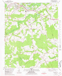
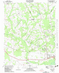
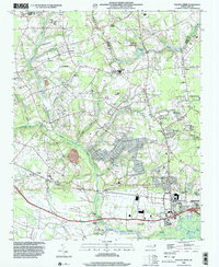
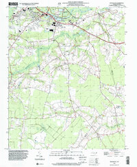
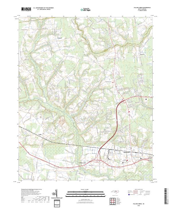
Falling Creek and the western outskirts of Kinston define this coastal plain landscape, where the borders of Greene and Lenoir counties meet. The area is characterized by a dense network of family-named roads and rural settlements like Institute, Dawson, and Fields. These early communities are tied together by numerous watercourses, including Wheat Swamp, Jumping Run, and Moseley Cr, which drain the low-lying agricultural lands. The southern portion of the map near the city limits features several significant burial grounds, including Pinelawn Cem, Westview Cem, and the Temple Israel Cem, providing essential points of reference for genealogists. The transport pattern reveals a transition from traditional rural routes like Aldridge Store Rd and Barwick Station Rd to more modern infrastructure surrounding the regional center.
Find a feature on this map
126 named features on this map. Tap any name to fly to it.
Don’t see what you’re looking for? This feature index may not catch every label — zoom into the map to look around manually.
Map Details
Editions of this 2022 Falling Creek Map
This is the sole edition of this map. No revisions or reprints were ever made.
Historical Maps of Wheat Swamp Through Time
6 maps found