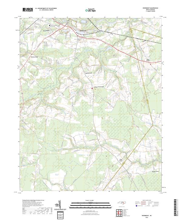
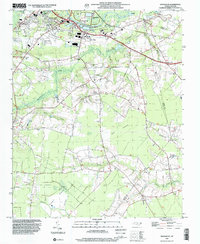
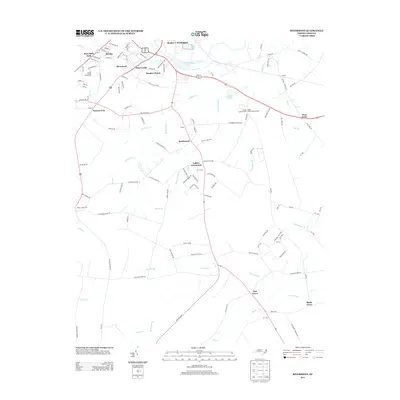
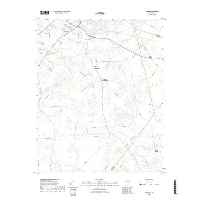
2022 Map of Rivermont
USGS Topo · Published 2022About this map
The Neuse River defines the northern reaches of this landscape, just south of Kinston, where the community of Rivermont and the campus of Lenoir Community College are established. Moving south, the terrain transitions into a complex network of wetlands and creeks, characterized by the distinct Ball Pocosin and Bearwell Pocosin. These areas are drained by slow-moving water bodies like Southwest Cr and the winding Vine Swamp.
Find a feature on this map
89 named features on this map. Tap any name to fly to it.
Don’t see what you’re looking for? This feature index may not catch every label — zoom into the map to look around manually.
Map Details
Editions of this 2022 Rivermont Map
This is the sole edition of this map. No revisions or reprints were ever made.
Historical Maps of Kinston Through Time
14 maps found
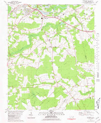
1980 Rivermont
Lenoir County, NC
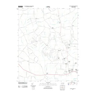
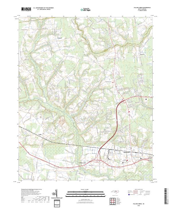
1983 Falling Creek
Lenoir County, NC
1998 Falling Creek
Lenoir County, NC
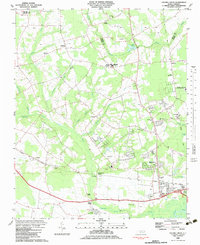
1998 Rivermont
Lenoir County, NC
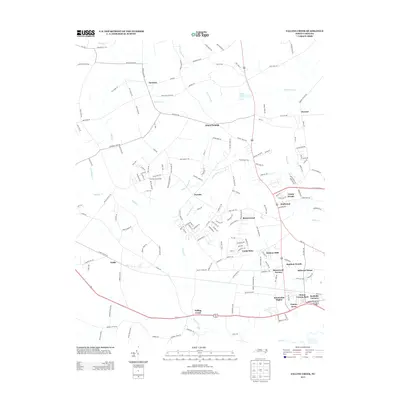
2010 Falling Creek
Lenoir County, NC
2010 Rivermont
Lenoir County, NC
2013 Falling Creek
Lenoir County, NC
2013 Rivermont
Lenoir County, NC
2016 Falling Creek
Lenoir County, NC
2016 Rivermont
Lenoir County, NC
2019 Falling Creek
Lenoir County, NC
2019 Rivermont
Lenoir County, NC
2022 Falling Creek
Lenoir County, NC
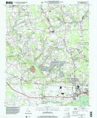
2022 Rivermont
Lenoir County, NC