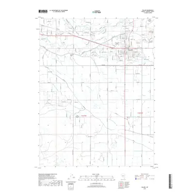
2018 Map of Fallon
USGS Topo · Published 2018About this map
Fallon serves as the focal point of this high-desert landscape in the Lahontan Valley, where a complex network of man-made irrigation channels defines the local geography. The intricate system of water management is visible through the T Line Canal, S Line Canal, and numerous drains like the Upper Soda Lake Drain and Sheckler Drain, which support the agricultural lifeblood of Churchill County. The Carson River snakes through the northern portion of the map, passing near the volcanic prominence of Rattlesnake Hill. Institutional landmarks of the late 2010s are well-documented, including the Western Nevada College - Fallon Campus and the Fallon Municipal Airport. For those researching family history, the map precisely locates the Churchill County Cem and Saint Clair Cem, providing essential context for local genealogists.
Find a feature on this map
167 named features on this map. Tap any name to fly to it.
Don’t see what you’re looking for? This feature index may not catch every label — zoom into the map to look around manually.
Map Details
Editions of this 2018 Fallon Map
This is the sole edition of this map. No revisions or reprints were ever made.
Other maps of this area

1908 · Carson Sink
USGS Topo · 1:250,000

1910 · Carson Sink
USGS Topo · 1:250,000

1950 · Stillwater
USGS Topo · 1:62,500

1951 · Carson Lake
USGS Topo · 1:62,500

1951 · Soda Lake
USGS Topo · 1:62,500

1951 · Fallon
USGS Topo · 1:62,500

1957 · Reno
USGS Topo · 1:250,000

1959 · Reno
USGS Topo · 1:250,000

1960 · Reno
USGS Topo · 1:250,000

1979 · Carson Sink
USGS Topo · 1:100,000