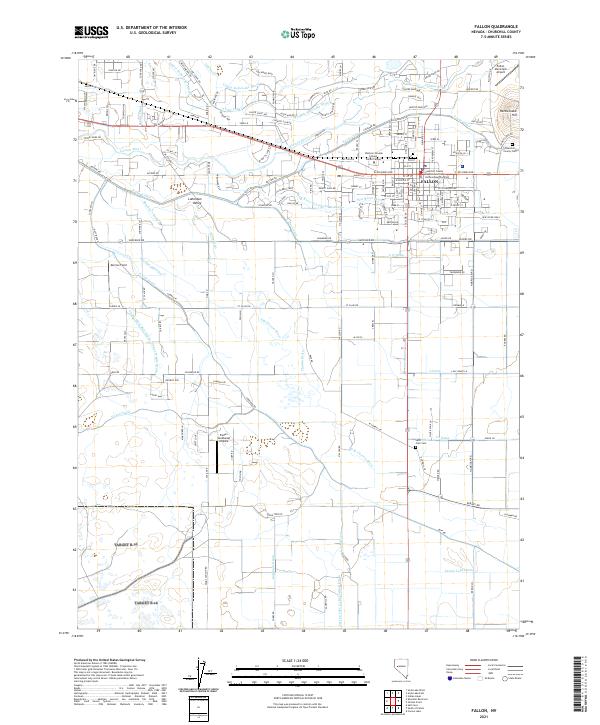
2021 Map of Fallon
USGS Topo · Published 2021About this map
Fallon serves as the focal point of this Nevada survey, illustrating a landscape deeply defined by the management of water within the Lahontan Valley. The city's layout is intricately tied to a network of irrigation and drainage infrastructure, with the Carson River winding through the northern portion of the quadrangle. Significant waterworks such as the S Line Canal, N Line Canal, and V Line Canal bisect the terrain, reflecting the area's agricultural development.
Find a feature on this map
175 named features on this map. Tap any name to fly to it.
Don’t see what you’re looking for? This feature index may not catch every label — zoom into the map to look around manually.
Map Details
Editions of this 2021 Fallon Map
This is the sole edition of this map. No revisions or reprints were ever made.
Other maps of this area

1908 · Carson Sink
USGS Topo · 1:250,000

1910 · Carson Sink
USGS Topo · 1:250,000

1950 · Stillwater
USGS Topo · 1:62,500

1951 · Carson Lake
USGS Topo · 1:62,500

1951 · Soda Lake
USGS Topo · 1:62,500

1951 · Fallon
USGS Topo · 1:62,500

1957 · Reno
USGS Topo · 1:250,000

1959 · Reno
USGS Topo · 1:250,000

1960 · Reno
USGS Topo · 1:250,000

1979 · Carson Sink
USGS Topo · 1:100,000