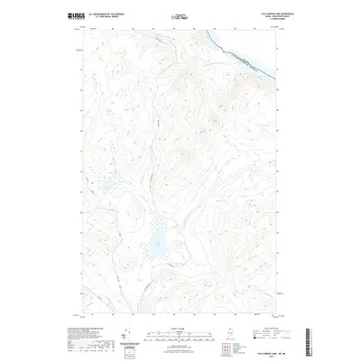
2021 Map of Falls Brook Lake
USGS Topo · Published 2021About this map
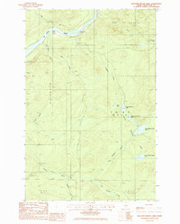
The international boundary between Canada and the United States follows the path of the Saint Francis River in this northern Aroostook County landscape. Central to the area is Falls Brook Lake, a significant water body fed by Falls Brook and Fishing Brook. This remote timberland territory is defined by a complex network of waterways, including the winding Little Black River and isolated basins such as Little Falls Pond and Sowish Lake.
Find a feature on this map
19 named features on this map. Tap any name to fly to it.
Don’t see what you’re looking for? This feature index may not catch every label — zoom into the map to look around manually.
Map Details
Editions of this 2021 Falls Brook Lake Map
This is the sole edition of this map. No revisions or reprints were ever made.
Other maps of this area

1930 · Allagash
USGS Topo · 1:48,000

1930 · St Francis
USGS Topo · 1:48,000

1933 · Allagash
USGS Topo · 1:62,500

1933 · St Francis
USGS Topo · 1:62,500

1955 · Beau Lake
USGS Topo · 1:62,500

1962 · Edmundston
USGS Topo · 1:250,000
1975 · St Francis SW
USGS Topo · 1:24,000
1975 · St Francis NW
USGS Topo · 1:24,000
1985 · St. Francis
USGS Topo · 1:24,000
1985 · Pelletier Brook Lakes
USGS Topo · 1:24,000