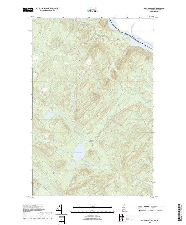
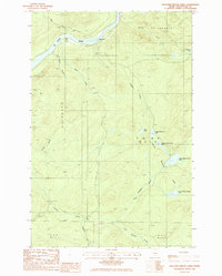
2024 Map of Falls Brook Lake
USGS Topo · Published 2024About this map
The international border between the United States of America and Canada follows the winding course of the Saint Francis River in this remote section of northernmost Maine. The landscape is defined by its complex drainage network, where Falls Brook Lake serves as a central hydrological point feeding into Falls Brook. Further north, McKeon Pond and the uniquely named Ruisseau à la Bagasse sit just across the Canadian line.
Find a feature on this map
19 named features on this map. Tap any name to fly to it.
Don’t see what you’re looking for? This feature index may not catch every label — zoom into the map to look around manually.
Map Details
Editions of this 2024 Falls Brook Lake Map
This is the sole edition of this map. No revisions or reprints were ever made.
Other maps of this area

1930 · Allagash
USGS Topo · 1:48,000

1930 · St Francis
USGS Topo · 1:48,000

1933 · Allagash
USGS Topo · 1:62,500

1933 · St Francis
USGS Topo · 1:62,500

1955 · Beau Lake
USGS Topo · 1:62,500

1962 · Edmundston
USGS Topo · 1:250,000
1975 · St Francis SW
USGS Topo · 1:24,000
1975 · St Francis NW
USGS Topo · 1:24,000
1985 · St. Francis
USGS Topo · 1:24,000
1985 · Pelletier Brook Lakes
USGS Topo · 1:24,000