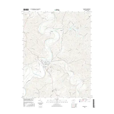
2016 Map of Falmouth
USGS Topo · Published 2016About this map
Falmouth serves as the focal point of this Pendleton County landscape, situated at the strategic confluence of the Licking River and the South Fork Licking River. The topography is defined by sharp elevation changes, where river valleys meet prominent rises like Reservoir Hill and the Buckeye Hills. To the north, the settlement of Menzie and the riparian corridor of Irving Bottom highlight the historical importance of the floodplains for local habitation and agriculture.
Find a feature on this map
95 named features on this map. Tap any name to fly to it.
Don’t see what you’re looking for? This feature index may not catch every label — zoom into the map to look around manually.
Map Details
Editions of this 2016 Falmouth Map
This is the sole edition of this map. No revisions or reprints were ever made.
Other maps of this area

1929 · Alexandria
USGS Topo · 1:48,000

1930 · Falmouth
USGS Topo · 1:48,000

1931 · Felicity
USGS Topo · 1:62,500

1936 · Alexandria
USGS Topo · 1:62,500

1936 · Falmouth
USGS Topo · 1:62,500

1952 · Berlin
USGS Topo · 1:24,000

1952 · Claysville
USGS Topo · 1:24,000

1953 · Berry
USGS Topo · 1:24,000

1953 · Kelat
USGS Topo · 1:24,000

1953 · Butler
USGS Topo · 1:24,000