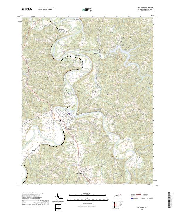
2022 Map of Falmouth
USGS Topo · Published 2022About this map
The Licking River and its major tributary, the South Fork Licking River, converge at the heart of Falmouth, the county seat of Pendleton County. This drainage pattern defines the landscape, creating fertile lowlands like Irving Bottom and elevated topographic features such as Reservoir Hill and Oak Hill. The city center is anchored by the Pendleton County Judicial Center, with the residential and civic layout stretching toward Beech Grove Cem.
Find a feature on this map
99 named features on this map. Tap any name to fly to it.
Don’t see what you’re looking for? This feature index may not catch every label — zoom into the map to look around manually.
Map Details
Editions of this 2022 Falmouth Map
This is the sole edition of this map. No revisions or reprints were ever made.
Other maps of this area

1929 · Alexandria
USGS Topo · 1:48,000

1930 · Falmouth
USGS Topo · 1:48,000

1931 · Felicity
USGS Topo · 1:62,500

1936 · Alexandria
USGS Topo · 1:62,500

1936 · Falmouth
USGS Topo · 1:62,500

1952 · Berlin
USGS Topo · 1:24,000

1952 · Claysville
USGS Topo · 1:24,000

1953 · Berry
USGS Topo · 1:24,000

1953 · Kelat
USGS Topo · 1:24,000

1953 · Butler
USGS Topo · 1:24,000