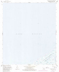
1968 Map of False Mouth Bayou
USGS Topo · Published 1978About this map
Lake Borgne dominates this coastal survey, where the brackish waters of the estuary meet the intricate marshlands of St. Bernard Parish. The landscape is a complex network of tidal waterways and lagoons, primarily preserved within the Biloxi State Wildlife Management Area. This 1968 study, updated with 1976 revisions, reveals a wilderness shaped by water, where False Mouth Bayou and Magill Bayou serve as primary conduits for the tides. The map detail highlights the fragmented shoreline of the Lakes of Bayou Marron and the opening of Mosquito Inlet, illustrating a delicate environment where firm land is scarce. For researchers of the Louisiana coast, the data provides a clear record of these wetlands before decades of modern coastal erosion significantly altered the geometry of Magill Lagoon and the surrounding marsh.
Find a feature on this map
8 named features on this map. Tap any name to fly to it.
Don’t see what you’re looking for? This feature index may not catch every label — zoom into the map to look around manually.
Map Details
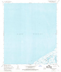
Editions of this 1968 False Mouth Bayou Map
2 editions found
Other maps of this area

1893 · Rigolets
USGS Topo · 1:62,500

1893 · Shell Beach
USGS Topo · 1:62,500

1893 · Toulme
USGS Topo · 1:62,500

1895 · Bodreau
USGS Topo · 1:62,500

1935 · English Lookout
USGS Topo · 1:31,680

1935 · Grand Island Pass
USGS Topo · 1:31,680

1936 · Rigolets
USGS Topo · 1:62,500

1939 · Shell Beach
USGS Topo · 1:62,500

1941 · Shell Beach
USGS Topo · 1:62,500

1946 · Lake Eugenie
USGS Topo · 1:31,680