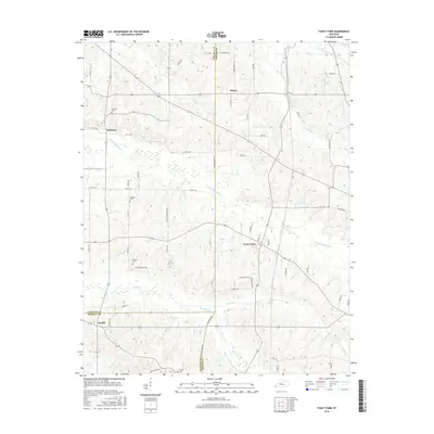
2016 Map of Fancy Farm
USGS Topo · Published 2016About this map
Fancy Farm serves as a central hub in this corner of Western Kentucky, where the boundaries of Carlisle, Graves, and Hickman Counties meet. This 2016 survey illustrates a landscape defined by agricultural drainage, with the W Fork Mayfield Cr and McClane Cr winding through the lowlands. The settlement patterns follow a network of county roads, connecting smaller locales like Kirbyton, Beulah, and the aptly named Wheel. Genealogists will find significant value in the scattered rural burial sites documented here, including Kirbyton Cem, Emmaus Cem, and Dodson Cem. These small cemeteries and named spur roads, such as N Dodson Spur Rd, provide precise geographic markers for family land tracts and historic local neighborhoods that have persisted since the early days of Kentucky settlement in the Jackson Purchase region.
Find a feature on this map
65 named features on this map. Tap any name to fly to it.
Don’t see what you’re looking for? This feature index may not catch every label — zoom into the map to look around manually.
Map Details
Editions of this 2016 Fancy Farm Map
This is the sole edition of this map. No revisions or reprints were ever made.
Other maps of this area

1936 · Melber
USGS Topo · 1:24,000

1951 · Blandville
USGS Topo · 1:24,000

1951 · Milburn
USGS Topo · 1:24,000

1951 · Melber
USGS Topo · 1:24,000

1951 · Hickory
USGS Topo · 1:24,000

1951 · Hickory
USGS Topo · 1:62,500

1952 · Clinton
USGS Topo · 1:24,000

1952 · Mayfield
USGS Topo · 1:24,000

1952 · Dublin
USGS Topo · 1:24,000

1952 · Fancy Farm
USGS Topo · 1:24,000